
GroundIQ Assess
Understand any site before you visit it.
Assess scans every available source - geotechnical archives, groundwater, utilities, environmental, satellite - plus your own data. You get a ranked site risk register and a preliminary 3D ground model, every finding sourced, every gap named.



Start with what is already known about a site
Every site already has relevant information available - typically scattered across owners, archives and formats. Assembled, it shows where the risks are and how best to investigate them.
Existing data
Everything already known about a site, in one place
Assess draws on three sources at once: open records (archives, LiDAR, utilities, satellite motion), your own uploads (boreholes, CPTs, reports), and Fugro's global ground-data archive. Everything already known about the site, in one place.


Risk assessment
Identify risks from existing data
Every risk rated by theme, linked to its evidence. Where sources conflict or the record runs thin, we flag it - so you see not just what's known, but how well it's known.
Preliminary ground model
A preliminary 3D ground model from existing data
Every GroundIQ project starts here: one preliminary 3D ground model, built from records that already exist and carrying its confidence throughout - so you see where the ground is well understood and where it isn't.


Expert recommendations
Plan the next steps with our experts
The automated assessment is the starting point. Fugro's specialists can take it into a full desk study, including site reconnaissance - and an investigation plan targeted to the project's needs.
Testimonials
Trusted by infrastructure and geotechnical teams.
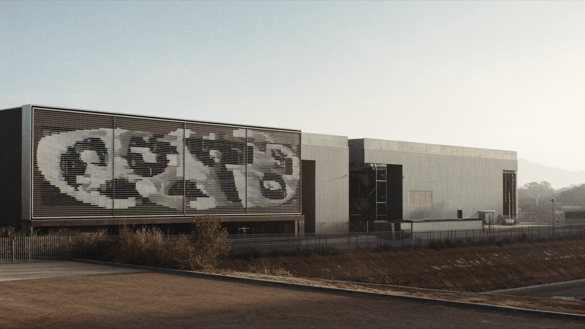


GroundIQ® in action: Ruling out hidden ground risks for a hyperscale data centre

How GroundIQ® delivered high-resolution underground water mapping in challenging urban setting