
Smarter ground investigation better project outcomes
GroundIQ® reveals unknown subsurface conditions so project teams can make better planning, design, and investment decisions - no blind spots, no surprises later on.



Nine in ten major projects overrun. The ground is the biggest unknown

Late insight
Proper ground understanding often arrives after key project decisions are already made.

Sparse coverage
A geotechnical investigation samples around 0.1% of a site - everything between is inferred.

Fragmented data
Ground data sits across reports, files and tools, held by different parties. No single current view.

Understand ground risks earlier, faster and build with confidence.
GroundIQ® is Fugro's ground intelligence solution for infrastructure projects. Four stages, one living 3D ground model that is refined at every phase - assess, screen, validate, design - in a workspace your whole team works from. Helping project teams reduce cost, accelerate delivery and manage ground risk across the entire asset development lifecycle.
Site selection
Understand any site before you visit it
Assess scans every available source - geotechnical archives, groundwater, flood, utilities, environmental, satellite - plus your own data. You get a ranked site risk register and a preliminary 3D ground model, every finding sourced, every gap named.


Geophysical survey
Advanced geophysics reveals ground risks in days, not months
Screen finds the ground risks that intrusive investigation alone can miss - cavities, weak zones, faults, changes in bedrock depth - across your whole site, before anyone drills. Quick-to-deploy node-based acquisition and patented multi-method geophysics turn one survey into a continuous 3D model.
Geotechnical investigation
Target your ground investigation where it matters
Boreholes, CPTs or SPTs are placed where the screening shows they matter - each point resolving an uncertainty instead of confirming what the grid assumed. Results feed straight back into the living 3D model.


Design parameters and predictions
One integrated 3D model, and the parameters you design with
Geophysics and geotechnics fused into one integrated 3D ground model. From it come the numbers you design with - stiffness, pile capacity, settlement, foundation options - each with confidence attached.
Digital project delivery
Where every GroundIQ project lives
The living ground model, the data behind it, the interpretations and the deliverables, in one connected and collaborative workspace - so project teams always work from the same current version, across the project lifecycle

From late-stage investigation to early ground intelligence
Traditional investigation delivers detail after the design is drawn - too late to change siting, layout or budget. GroundIQ inverts the sequence: Assess builds a first model from what already exists, Screen reveals ground risks across the whole site, Validate drills where the model is least certain, and Design turns it into the parameters and predictions you design with. Each phase sharpens the next - so the ground is understood rather than priced, at FID and at every decision after it.
Traditional approach
GroundIQ® approach
Built to support high-stakes project decisions
Tried, tested, and proven on critical infrastructure projects
Already deployed across energy, nuclear, transport, and data centre development programmes. Used to reduce site investigation timelines and strengthen design confidence under delivery pressure.
Powered by Fugro’s real-world geo-data and engineering expertise
Built on decades of geodata, geophysical capability, and 9,000+ specialists across 60+ countries. Every model is grounded in real-world subsurface understanding.
Insight where it matters, across every project stage
From early development through to operations, GroundIQ® provides subsurface understanding that supports better decisions at every stage of the asset lifecycle.

GroundIQ® is part of Fugro. Engineered with the rigour of the world's largest geo-data partner, packaged for the pace of a digital-first project team.
Trusted by infrastructure and geotechnical teams
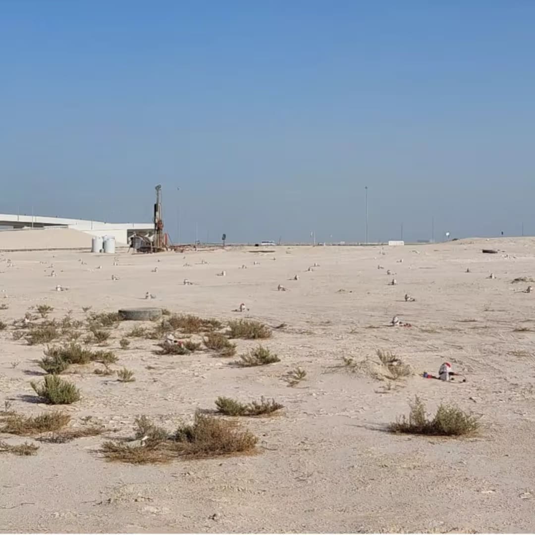


GroundIQ® demonstrates a 50% time-saving screening for pumping station

How GroundIQ® delivered high-resolution underground water mapping in challenging urban setting