
Investigate the ground without closing the city down
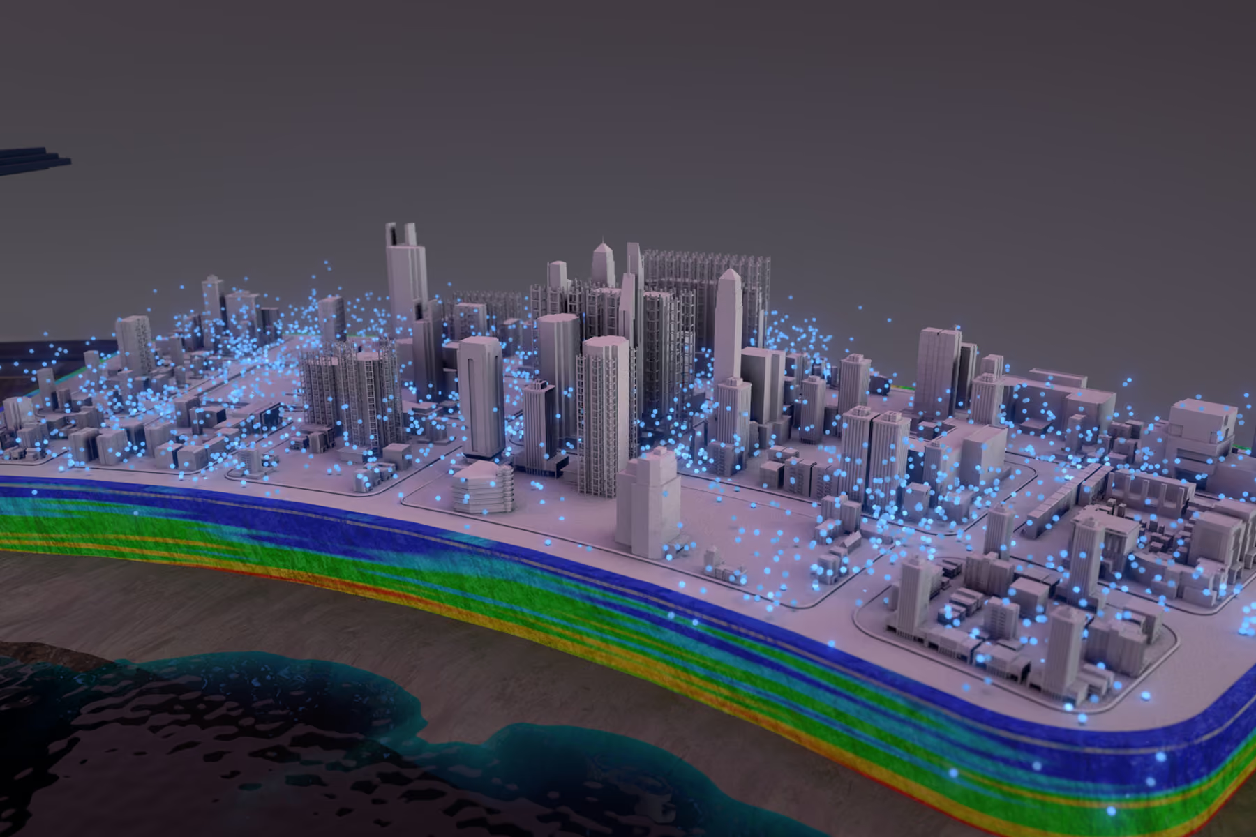
Urban sites are hemmed in by buildings, utilities and traffic, and much of what is underground was put there by someone else. GroundIQ works from small sensors placed on the surface, so a city block can be surveyed without road closures, rig access or a break in construction. The same model then carries into foundation and basement design.
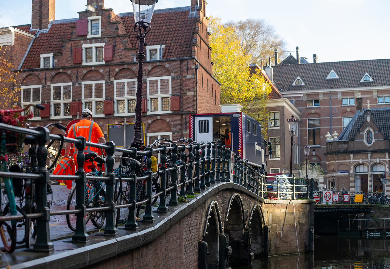

Three decisions GroundIQ changes on an urban site
Redevelopment, legacy ground and new build all rest on the same question: what is actually down there, under a site you cannot dig up freely. GroundIQ answers it from the surface, across the whole footprint, while the street stays open and work carries on. The three use-cases below show where it pays off.
Brownfield redevelopment
Survey the site without shutting the street. Sensors sit on the surface, so traffic, pedestrians and neighbouring buildings stay undisturbed.
Services

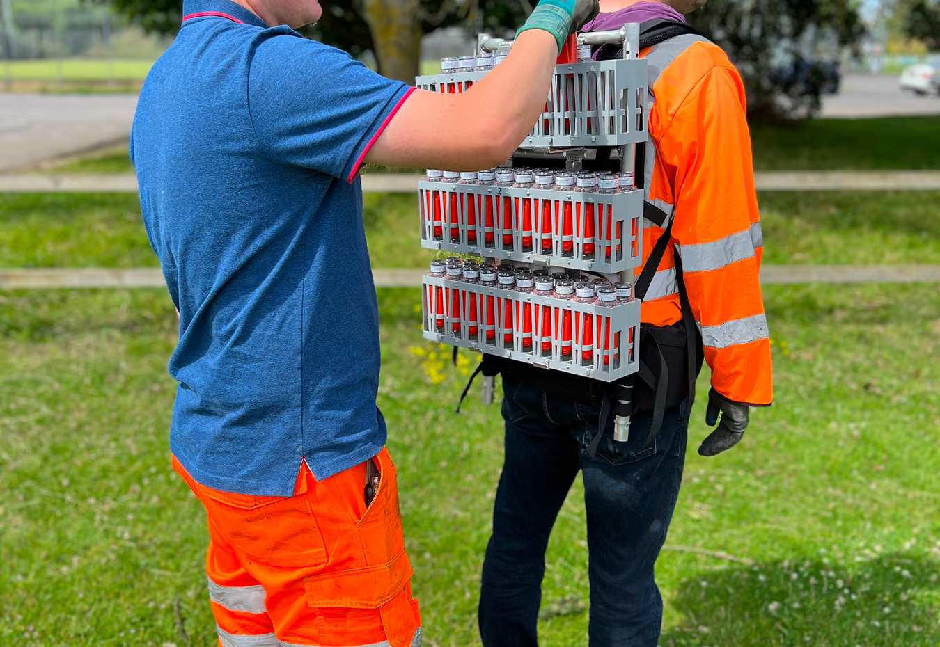
Made ground and settlement
Find what previous construction left behind. Old foundations, backfill, voids and soft zones mapped in 3D, along with the ground driving settlement.
Services
New build design
Get to design faster. Continuous stiffness and layering beneath towers, basements and podiums, weeks earlier than a drilling-led campaign.
Services
Trusted by infrastructure and geotechnical teams
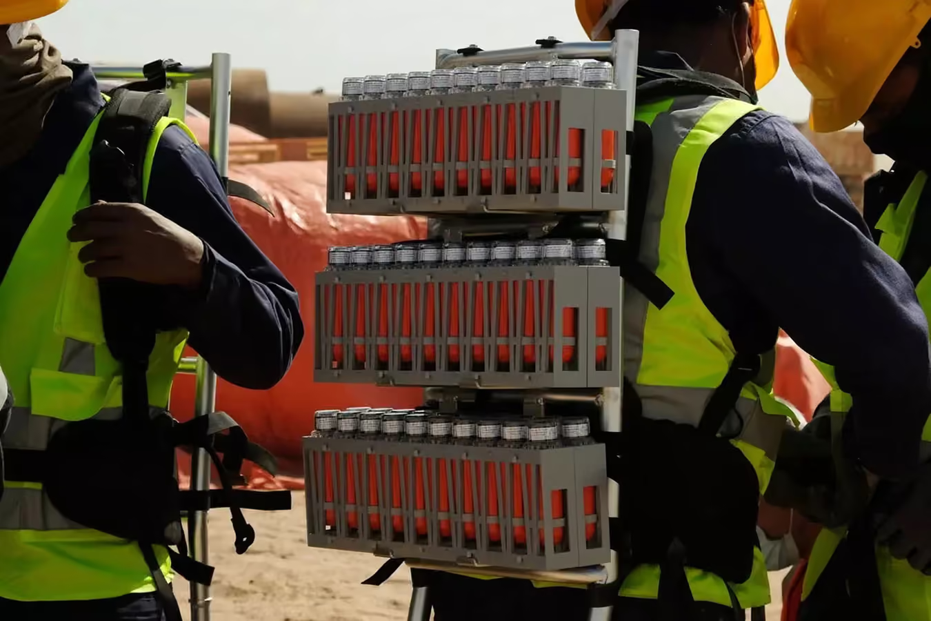
How a Doha hospital cut planned drilling by 80%
During secant pile wall installation for a hospital in West Bay, Doha, severe concrete loss raised the possibility of solution cavities. GroundIQ imaged the ground to 100 m depth alongside targeted drilling, cut the planned borehole grid from 1,000 m to 200 m, and confirmed the existing foundation design.


