
Screen route options and place bridges and tunnels on measured ground.
Transport schemes run for kilometres and land heavy at every structure. GroundIQ maps the ground along the whole alignment, then in detail beneath each bridge pier, portal and station box, so route choices and foundation design rest on measured conditions. Hand-carried sensors work under live traffic and inside rail possessions.
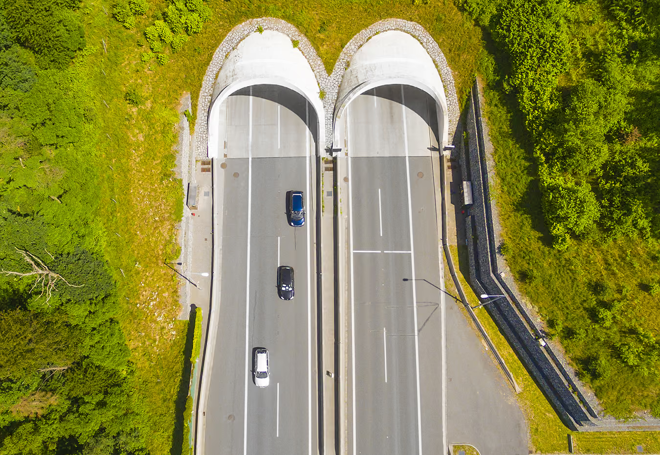

Three decisions GroundIQ changes for transportation
A transport scheme commits alignment early and its structures later, and both decisions rest on the same ground. GroundIQ covers the corridor at kilometre scale, then each bridge, portal and station in detail, from one continuous model gathered around live traffic and rail possessions. The three use-cases below show where it pays off.
Route screening
Compare alignments on real ground. Soil conditions, rock head and groundwater mapped across kilometres before the route is fixed.
Services
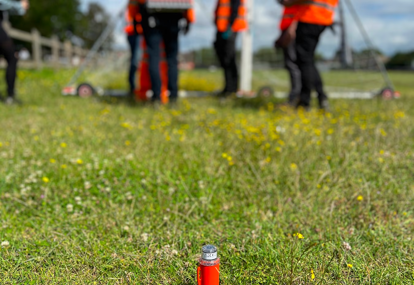
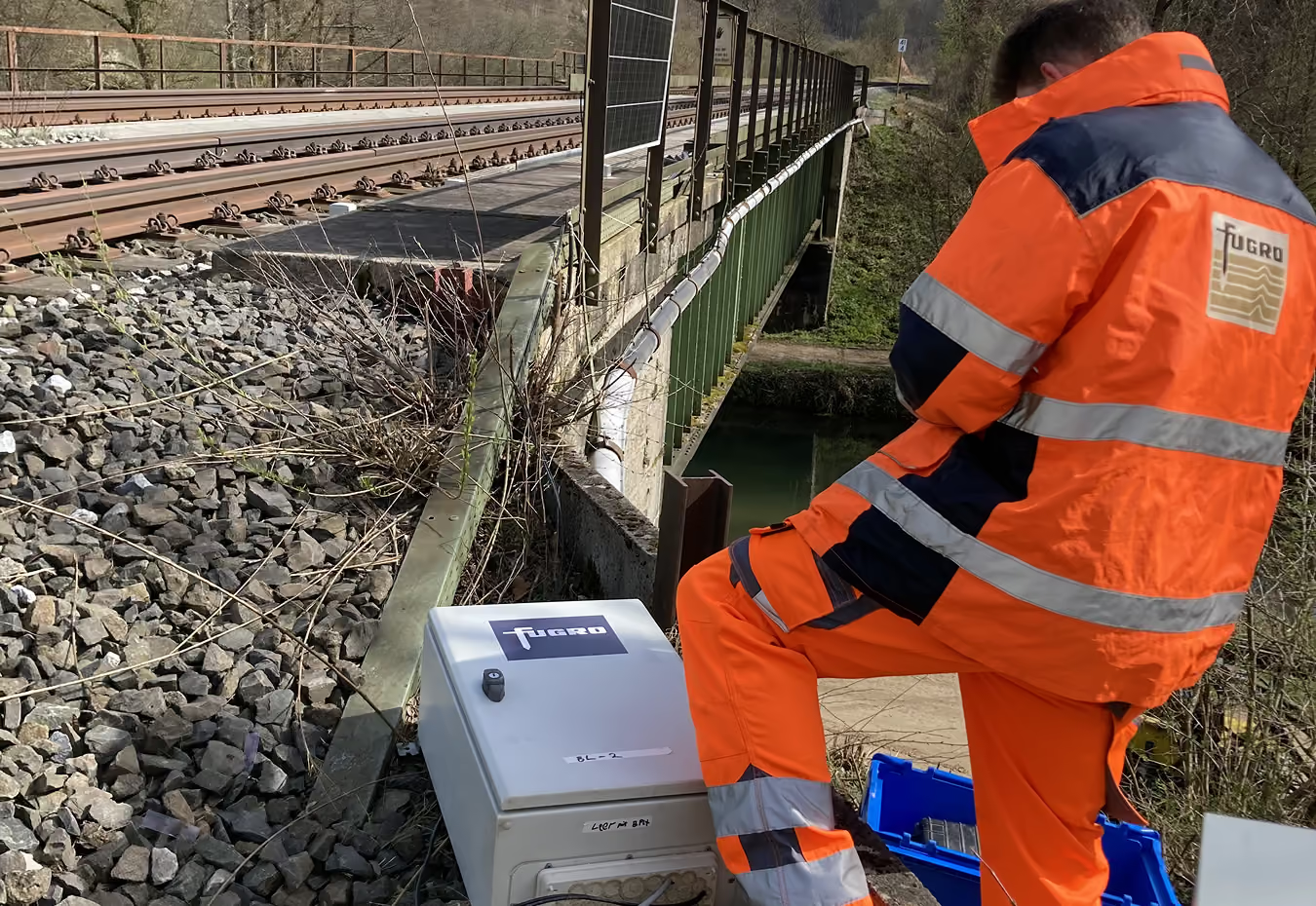
Tunnels and portals
Know the ground the machine will meet. Rock head, fault zones and mixed face conditions mapped along the drive and at each portal.
Services
Bridges and stations
Found structures on known ground. Continuous stiffness and layering beneath piers, abutments, station boxes and retaining walls.
Services
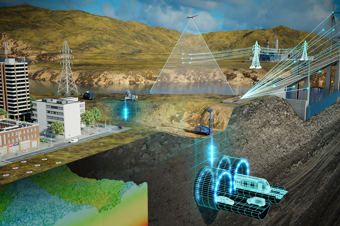
Trusted by infrastructure and geotechnical teams
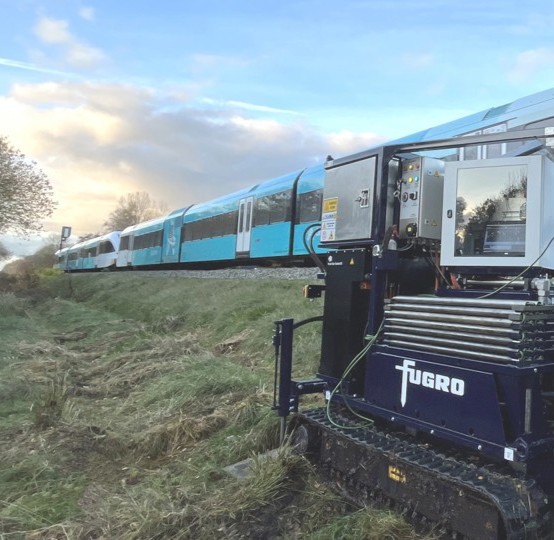
Fugro's record on Europe's largest transport programmes
Fugro has delivered pre-construction ground investigation on major European high-speed rail programmes, and route data and digital twin work for national rail infrastructure operators. GroundIQ brings that same screening approach to corridor-scale work, with results already proven on other large infrastructure projects.


