
GroundIQ Platform
Ground data, models and geophysics in one place.
Import site investigation data in the format it arrives, check it, and build a 3D ground model. Fuse geophysics with your CPTs to extend the model across the site, then share model and report with your client. Built by Fugro for geotechnical and geophysical teams.



From raw site data to a shared ground model.
Site investigation data arrives as PDFs, AGS and GEF files and spreadsheets. Logs get retyped, models get rebuilt when new data lands, and geophysics and geotechnical results sit in separate tools. GroundIQ Workspace keeps all of it in one project, in three steps.
Bring data in
Every file lands in one checked dataset.
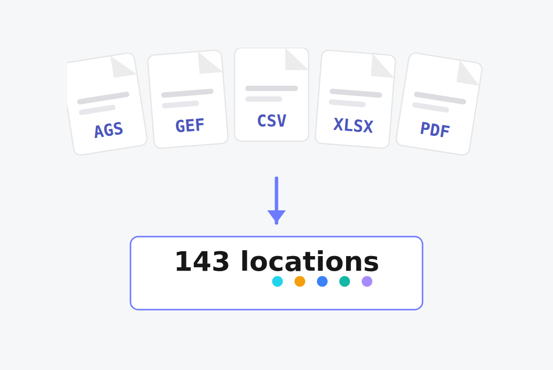
Upload AGS, GEF, BRO XML and CSV files, or scanned PDF logs, in one batch. Coordinate systems are detected, QC checks flag errors and gaps, and duplicate or clashing records are held for you to resolve.


Build the model
A 3D ground model, straight from your imported data.
View the model in the browser, cut cross sections, and see boreholes and CPTs on the map. Geophysics runs in the same project: MASW, surface wave tomography and ambient noise processing, with QC plots at every step.
GeoFusion
A wider model from the CPTs you already have.
GeoFusion combines geophysics with the CPTs you have and generates synthetic CPTs across the site. The ground model then covers the area between test locations.


Deliver to your client
One shared model and report, with every version kept.
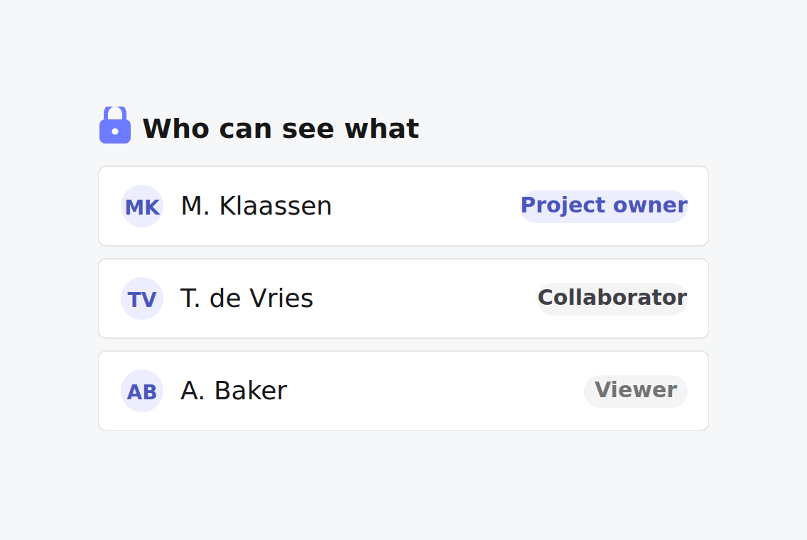
Every change to the model is kept as a version. Attach your report to the model and share both with the client, with project roles controlling who can see and edit.
Join the waitlist and we will get in touch.
Everything you need to
manage ground intelligence
Borehole Digitizer
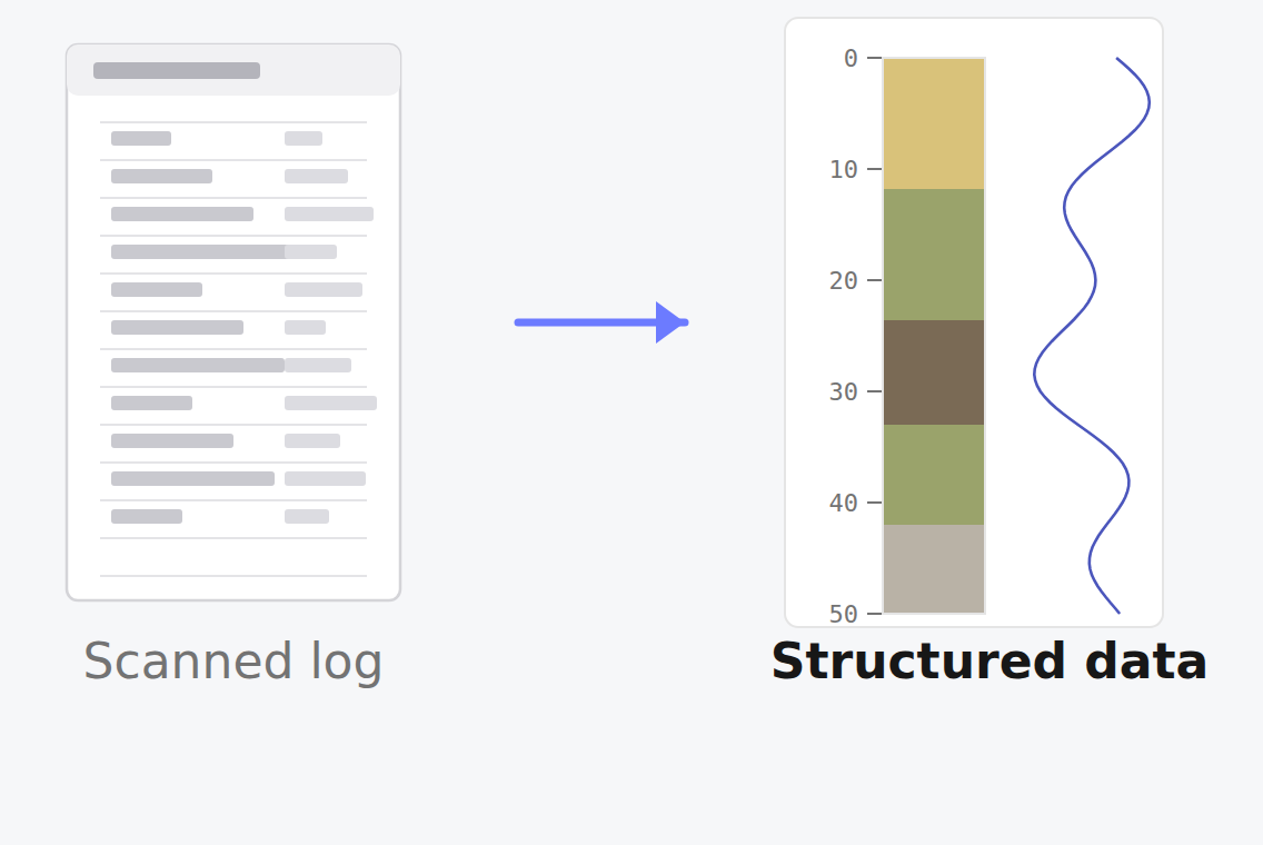
Turn static borehole logs into digital, structured subsurface data in minutes. Automatically visualise digitised boreholes in a 3D viewer to immediately explore subsurface conditions.
Automated QC Checker
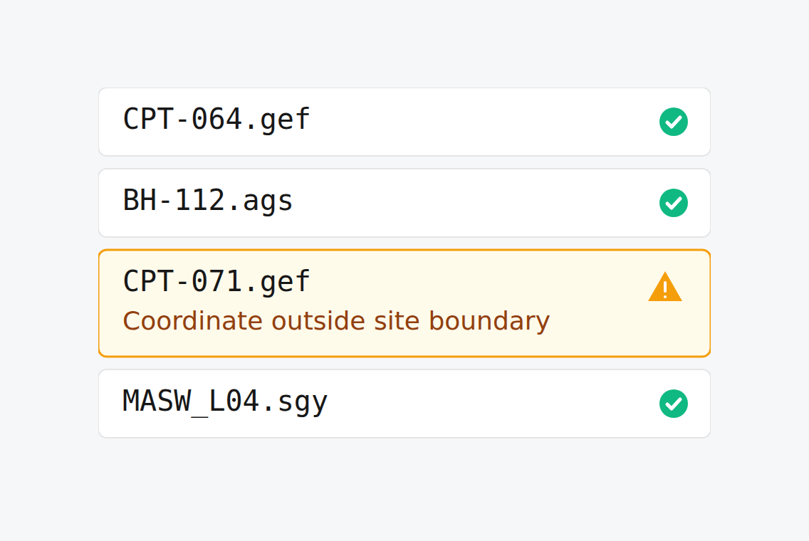
Automatically identify data errors, inconsistencies, and anomalies during upload before they affect downstream workflows. Resolve issues early to improve confidence in your ground data.
Role-based Access Control (RBAC)
Control who can access, edit, and manage geodata across each project. Assign roles to ensure the right stakeholders have the level of access they need at every stage of the workflow.
Batch-bulk Import
Upload multiple geotechnical files at once to streamline data ingestion across entire projects. Reduce manual effort and save time by importing large datasets in one single step.
Batch-bulk Import
Upload multiple geotechnical files at once to streamline data ingestion across entire projects.
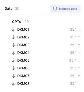
Geodata Hub
Store all ingested geotechnical data in a single central repository for easy access and reuse.

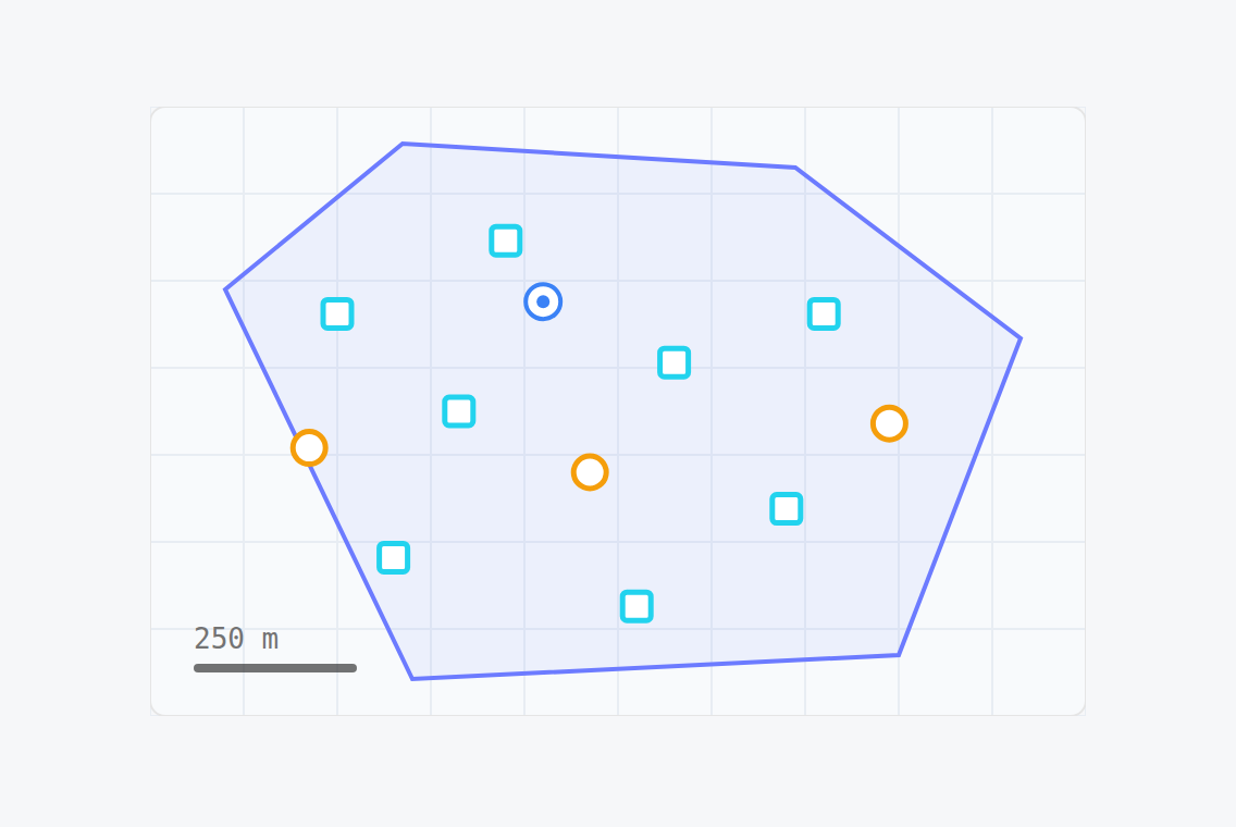
GIS Map Plotting
Visualise boreholes and CPT data on interactive GIS maps to understand spatial distribution across your site.
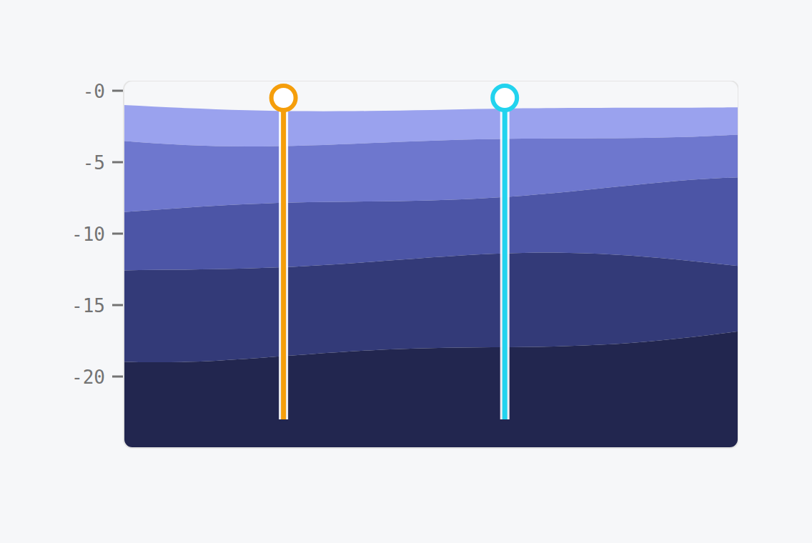
Cross section
Cut cross-sections through boreholes, CPTs and the ground model to see how layers run between investigation points.
Why GroundIQ
Built to support high-stakes project decisions.
Tried, tested, and proven on critical infrastructure projects
Already deployed across energy, nuclear, transport, and data centre development programmes. Used to reduce site investigation timelines and strengthen design confidence under delivery pressure.
Powered by Fugro’s real-world geo-data and engineering expertise
Built on decades of geodata, geophysical capability, and 9,000+ specialists across 60+ countries. Your engineers stay in charge of interpretation and sign-off.
Enterprise-ready from day one, built for global infrastructure teams
Secure, scalable, and designed for enterprise deployment. GDPR-compliant, with integration options for existing IT environments.

GroundIQ® is a Fugro company, engineered with the rigour of the world's largest geo-data partner and packaged for the pace of a digital-first project team.
Testimonials
Trusted by infrastructure and geotechnical teams.
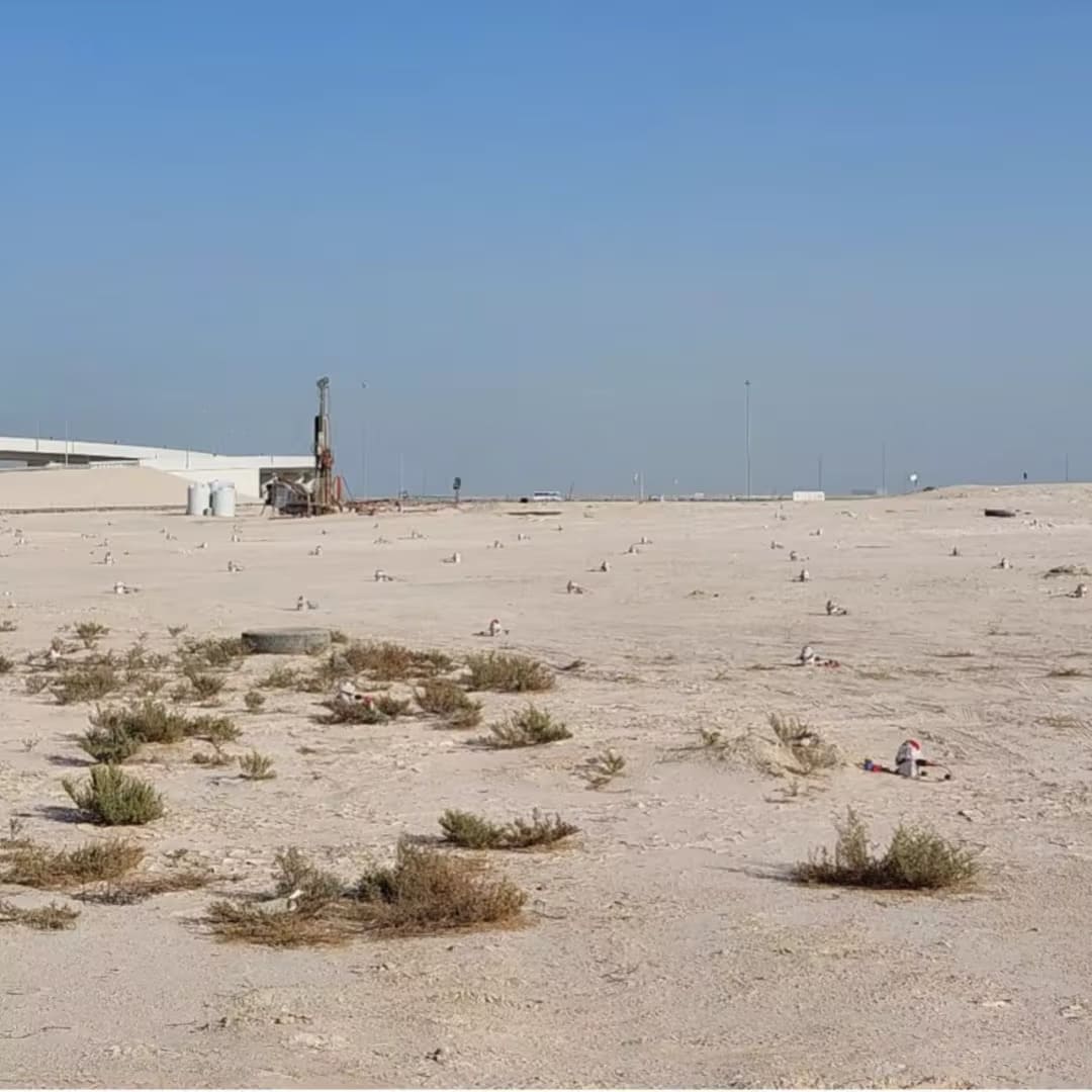


GroundIQ® demonstrates a 50% time-saving screening for pumping station

How GroundIQ® delivered high-resolution underground water mapping in challenging urban setting