
Screen mining sites without disrupting operations.
GroundIQ accelerates screening ground conditions for mining infrastructure: pit, plant and tailings dam. See page pathways, weak zones and foundation variability appear in one 3D model, built with less invasive methods that suit remote sites. Sensors are placed by hand, so the mine keeps running throughout.

Three decisions GroundIQ changes on a live mine
The assets that most need ground evidence are the hardest to get it from: remote,without rig access, and in the case of a dam, hard to drill without questioning its integrity. Node-based acquisition removes that constraint, hand-carried across the whole asset with nothing intrusive. The three use-cases below show where it pays off.
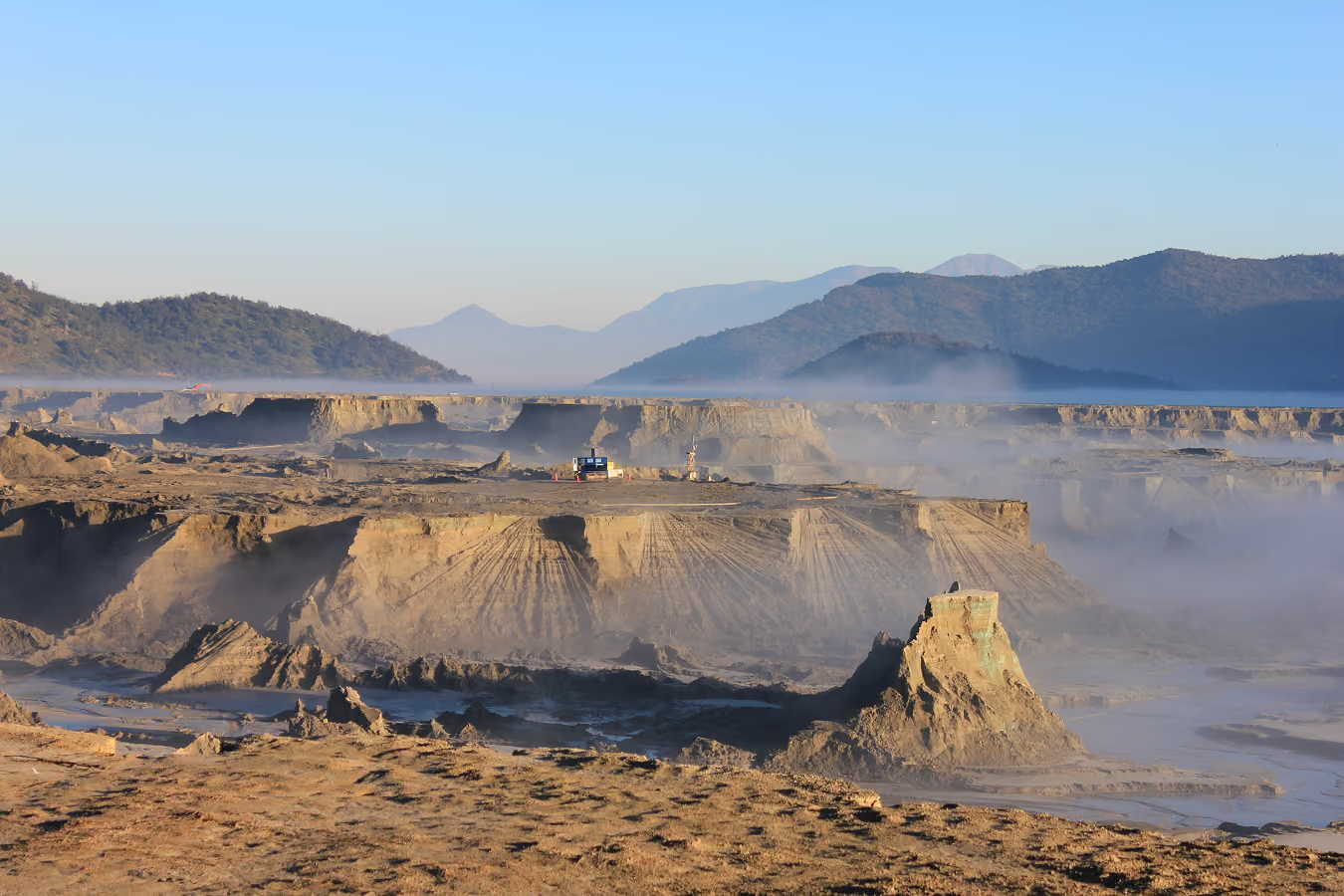
Tailings dam screening
See inside the dam without drilling into it. See page pathways, weak zones and variability imaged safely on a live, operating asset.
Services
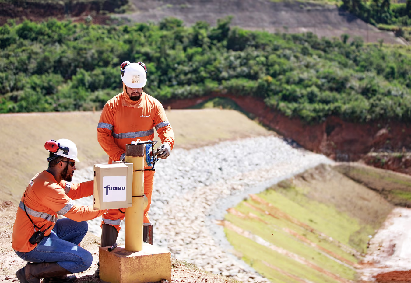
Mining infrastructure design and engineering
Get a solid understanding of ground risk ahead of engineering new mining facilities.
Services
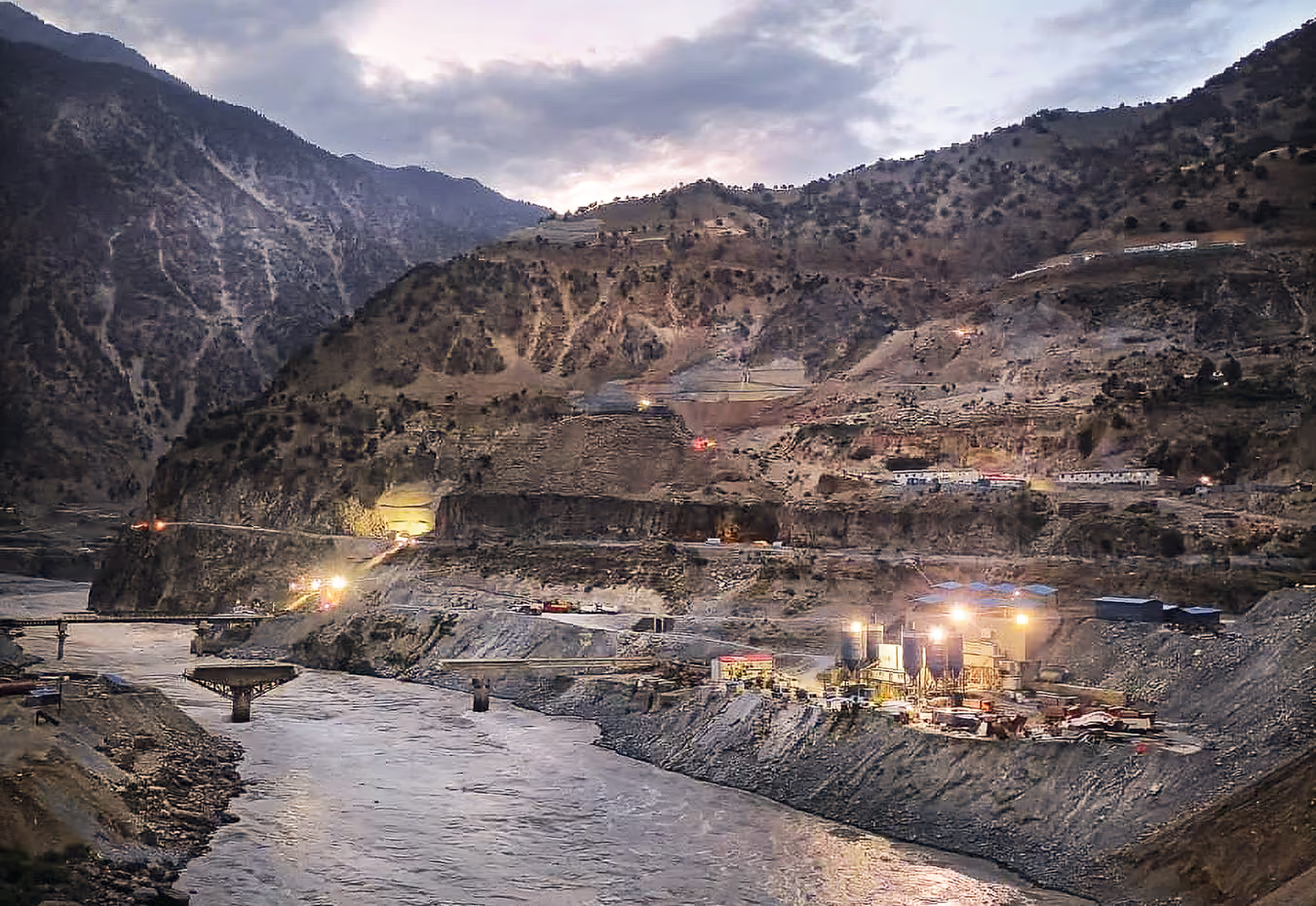
Mine closures
Get evidence on the ground before you sign off closure. Stability, water pathways and material conditions mapped in 3D across the whole site.
Services
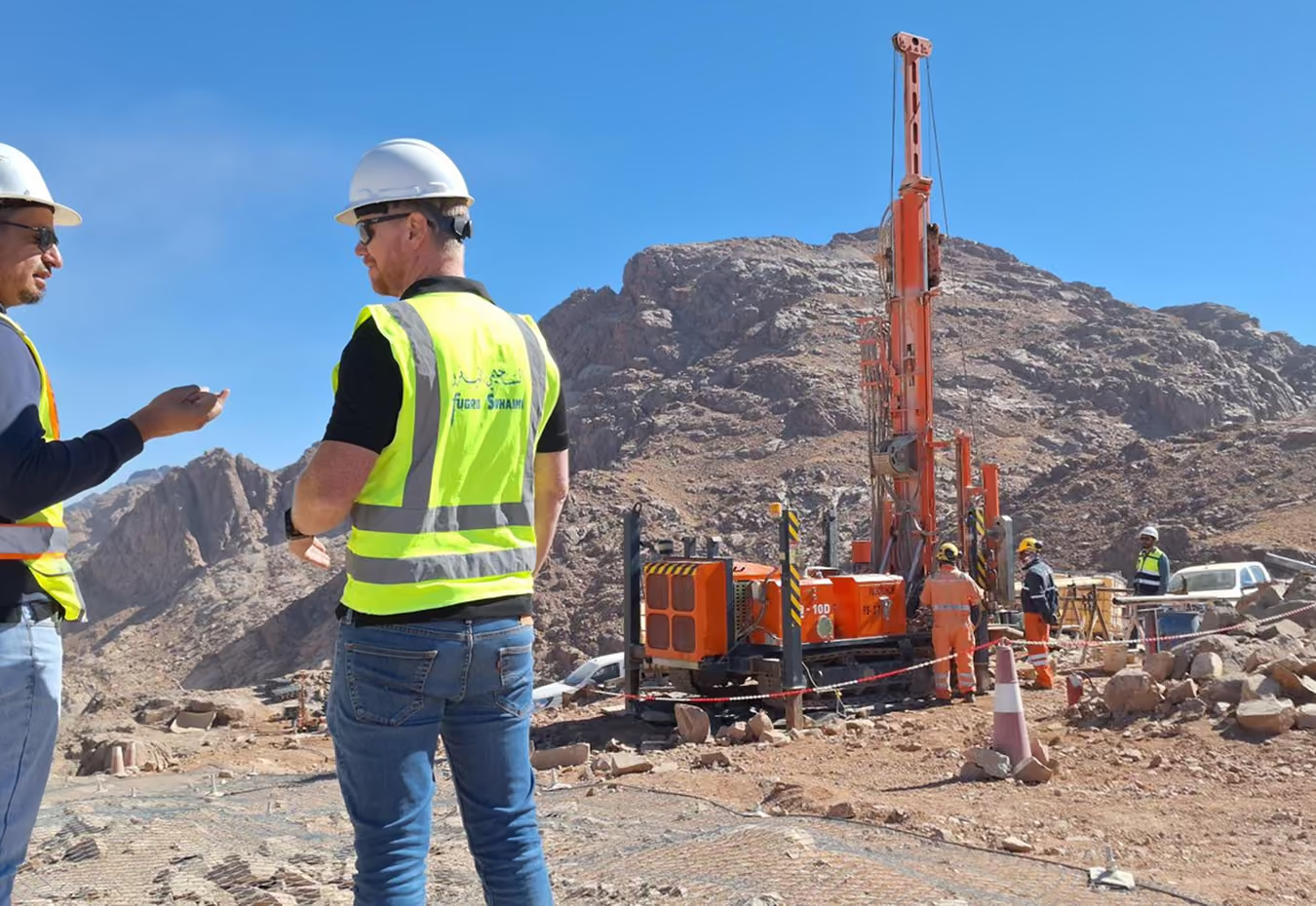
Trusted by infrastructure and geotechnical teams
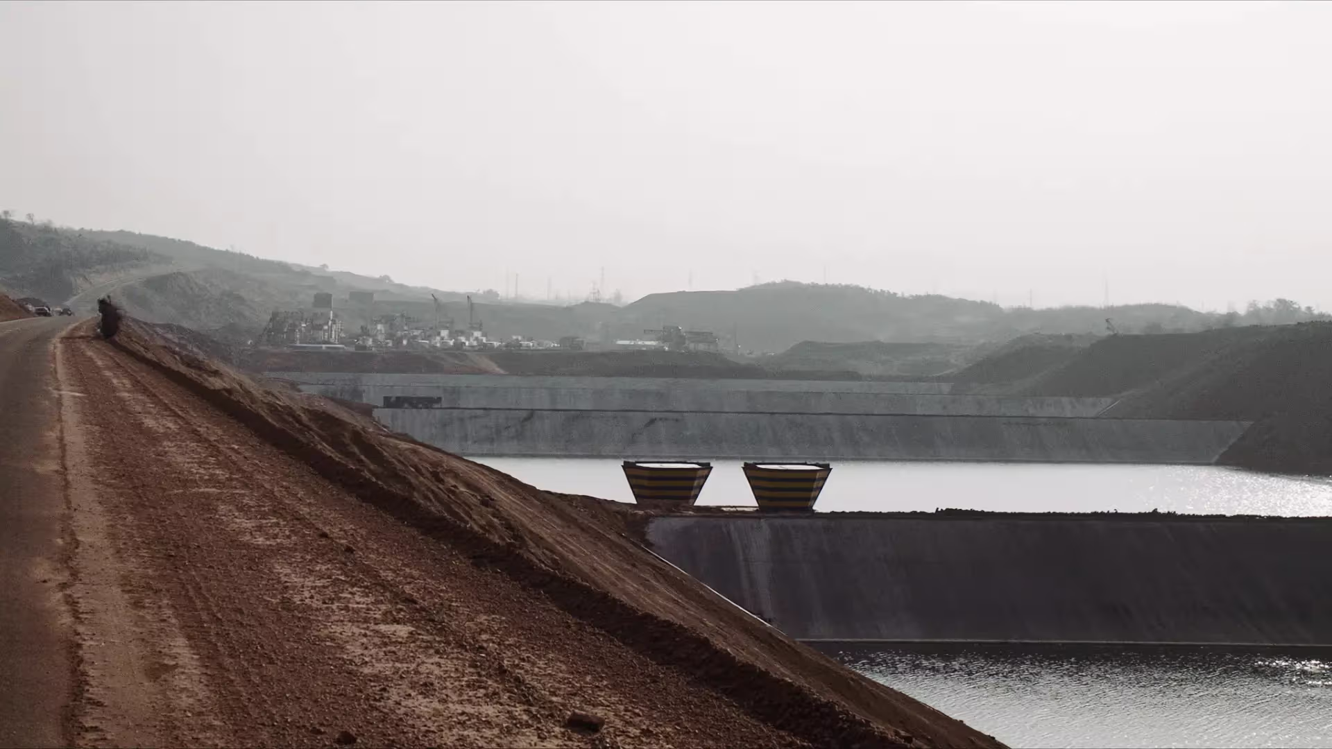
How GroundIQ helped Codelco rule out hidden structural risks in a Tailings Deposit in Chile
Seeing inside a tailings dam for Codelco at El Teniente, Chile. GroundIQ imaged thefull structure without drilling into it, on a live asset, and found no weakzones: a result the engineer of record could take into the dam safety review as evidence rather than inference.


