
GroundIQ Screen
Advanced geophysics reveals ground risks in days, not months.
Low-impact, node-based geophysics covers the whole site in days, turning it into a 3D model with insight into the project's ground risks - before the key decisions are made.


An MRI & CT before anyone picks up the scalpel
No surgeon operates on a patient nobody has scanned. Geophysics scans the whole site before any drilling - so the investigation is designed on what's there, not what was assumed.
Low-impact acquisition
We listen to the ground. Fast and low-impact.
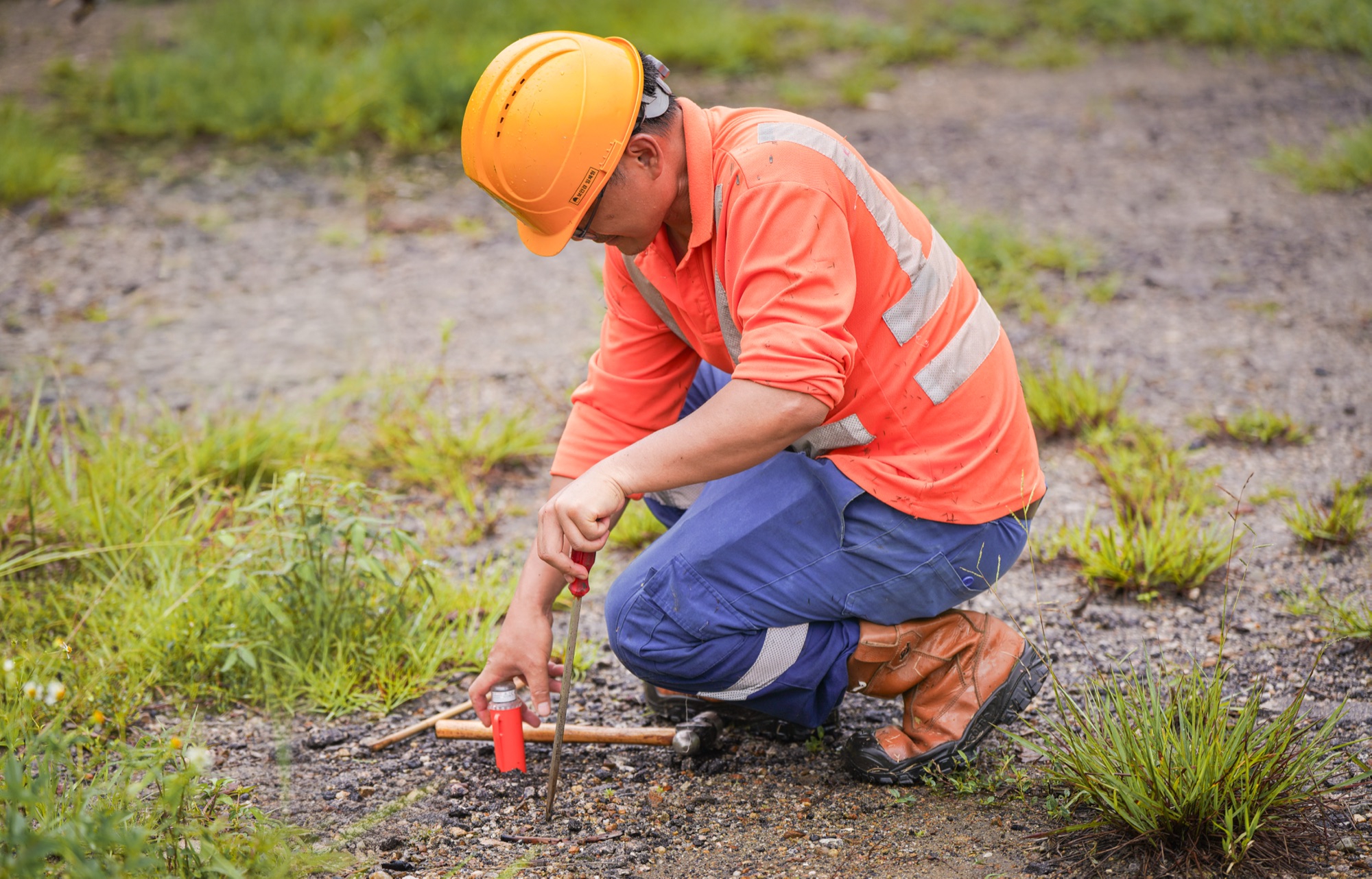
Autonomous seismic nodes are hand-placed across the site and left to record - no cables, no shutdowns, little to no permitting. A small crew covers the whole area in days. Nothing drilled, nothing disturbed.


Multiple methods, one deployment
Every method is ambiguous on its own. So we use multiple.
ANT, MASW, HVSR, ERT and refraction from a single deployment, each measuring a different property. Together they pick up voids, weak zones, faults, bedrock depth and groundwater. What one method misses, another catches.
3D ground model
Every method resolves into one 3D ground model.
Vs from ANT and MASW maps stiffness and weak zones; Vp from refraction adds layering and saturation. Scattered records become one continuous, expert-verified picture of the ground — and where it's still uncertain.


Decision confidence
A decision-ready report for better project decisions
Vp and Vs models across the whole site: stratigraphy, bedrock depth, groundwater, stiffness, liquefaction, cavities, faults and fracture zones - interpreted by our geophysicists into a report with the key risks and engineering insights.
Testimonials
Trusted by infrastructure and geotechnical teams.
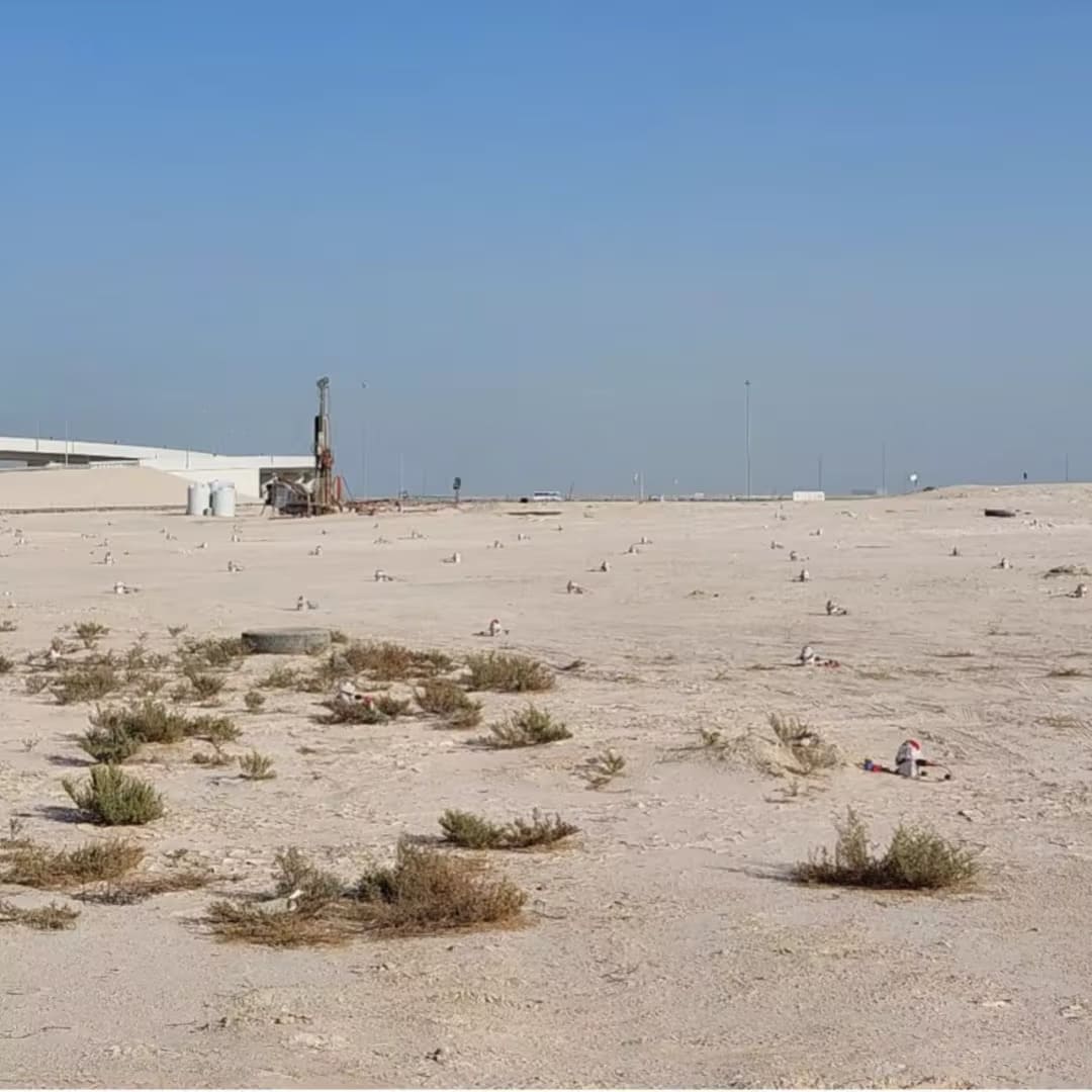

GroundIQ® demonstrates a 50% time-saving screening for pumping station
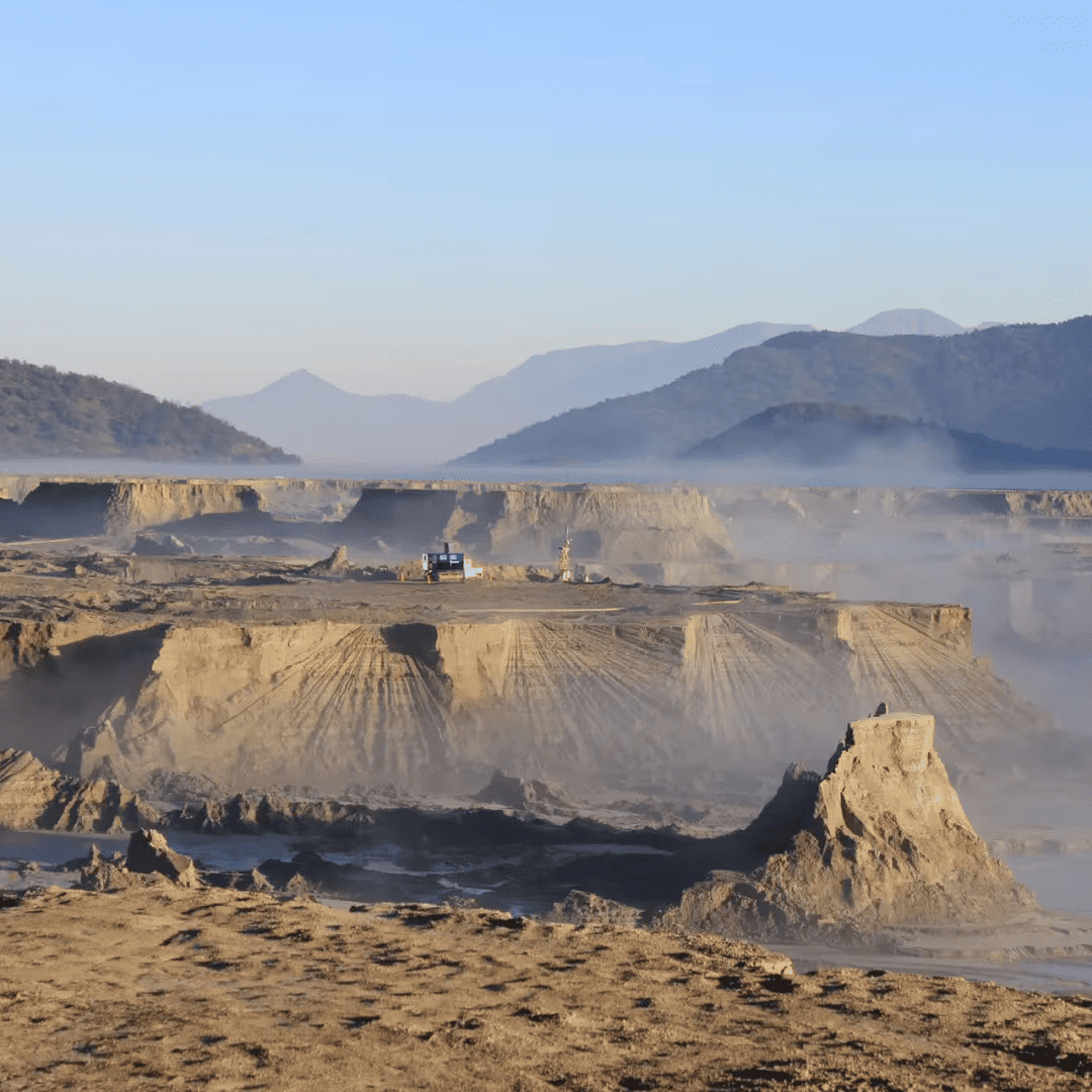
Seeing Inside a Tailings Dam: How GroundIQ® Helped Rule out Hidden Structural Risks