
Route pipelines and site power infrastructure on measured ground.
Energy infrastructure runs long and sits heavy. GroundIQ maps the ground along a pipeline corridor and beneath power stations, pumping stations and substations, so crossings, trenches and foundations are designed on measured conditions. Sensors work around live services, and the same model carries from routing through to detailed design.
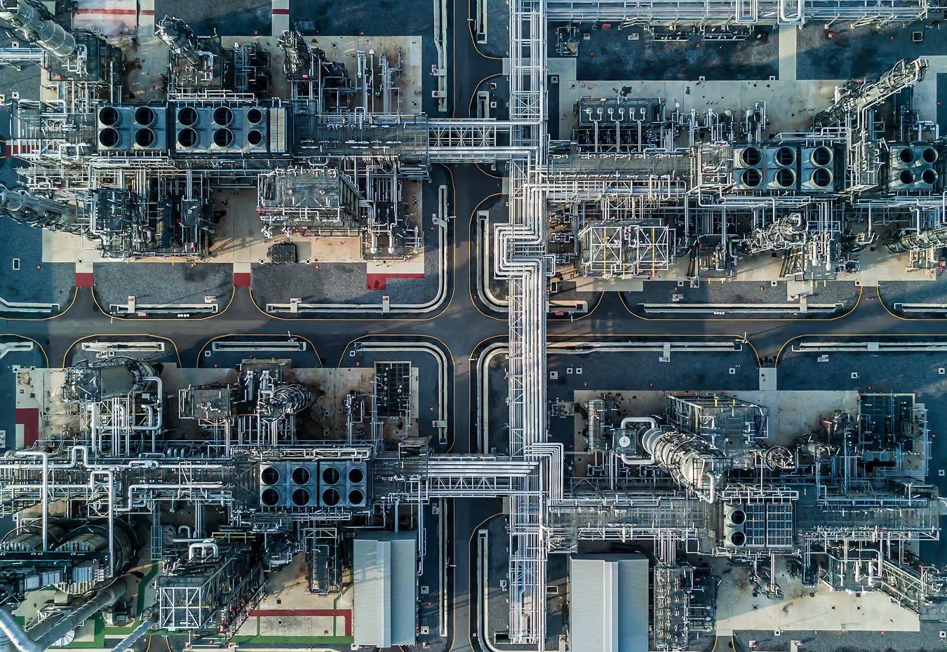

Three decisions GroundIQ changes on energy infrastructure
Whether the asset is a pipeline running for kilometres or a pumping station on a single plot, the cost of a ground surprise lands in the same place leading to costly suprises after. GroundIQ gives the corridor and the site the same continuous picture, gathered around live operations. The three use-cases below show where it pays off.
Brownfield development
Survey the live plant without stopping it. Passive acquisition works around operations, congested layouts and buried services.
Services
Pipeline routing
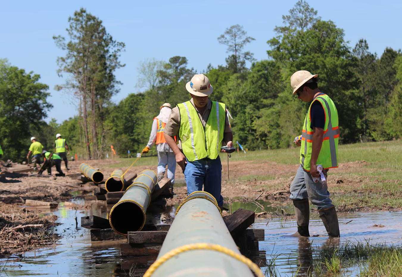
Choose the route on real ground. Soil conditions, rock head and groundwater mapped along the corridor in 3D before the alignment is fixed.
Services
Power and pumping stations
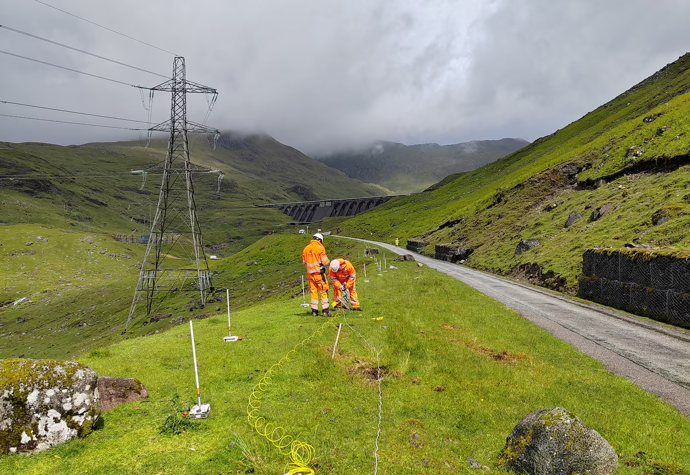
Site heavy equipment on competent ground. Continuous stiffness and layering beneath turbine halls, pump houses, tanks and switchyards.
Services
Trusted by infrastructure and geotechnical teams
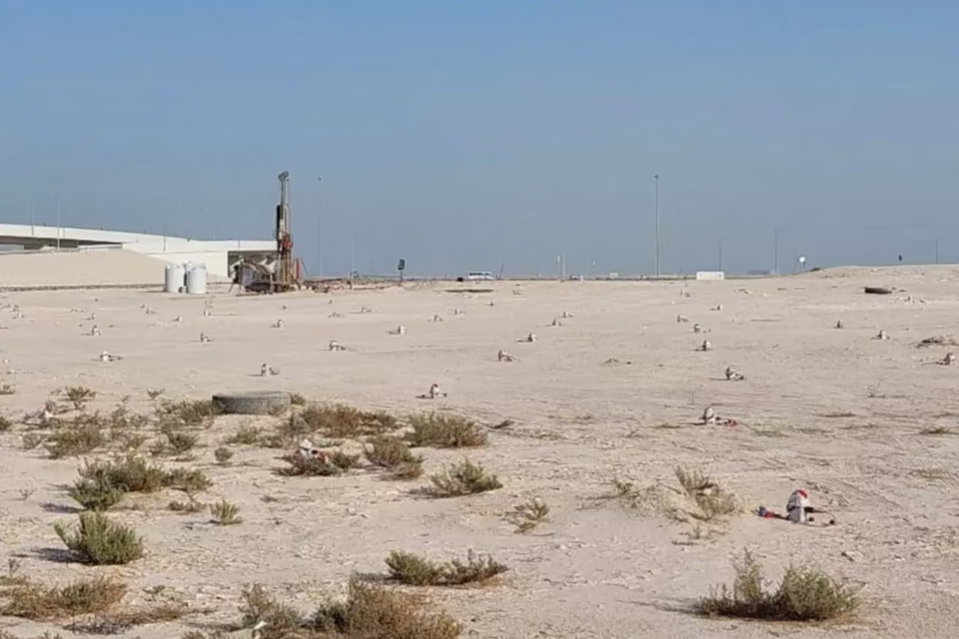
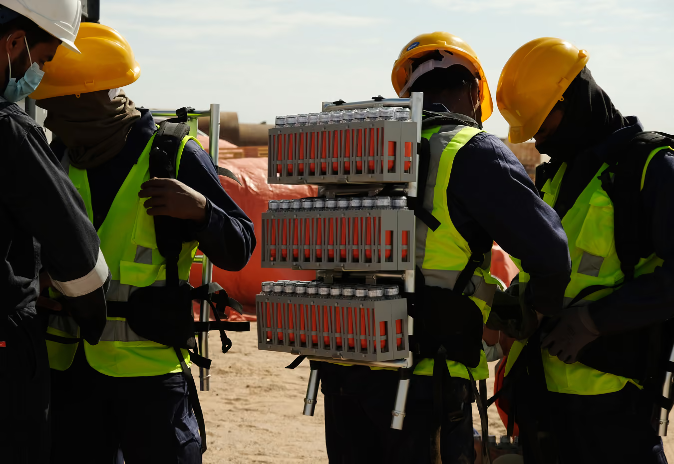
Delivering time savings for a Stantec stormwater pumping station
Screening a stormwater pumping station site for Stantec and Ashghal in Qatar. Ambient noise tomography covered the site beyond 100 m depth in half the time of a conventional campaign, with a fraction of the people on the ground.


