
Map the terminal and its approach on measured ground, shore to seabed.
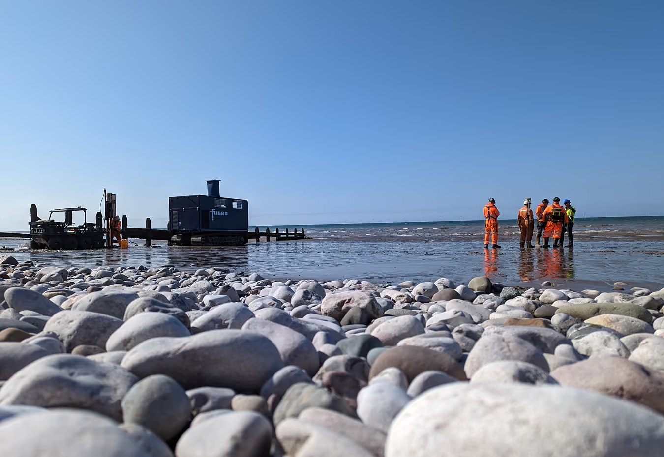
Terminals are built on ground someone made, and nearshore development sits in water too shallow for a survey vessel. GroundIQ maps both: reclamation quality, soft pockets and buried channels across the yard, then straight out through the surf zone to the nearshore approach.

Three decisions GroundIQ changes for terminal and nearshore assets
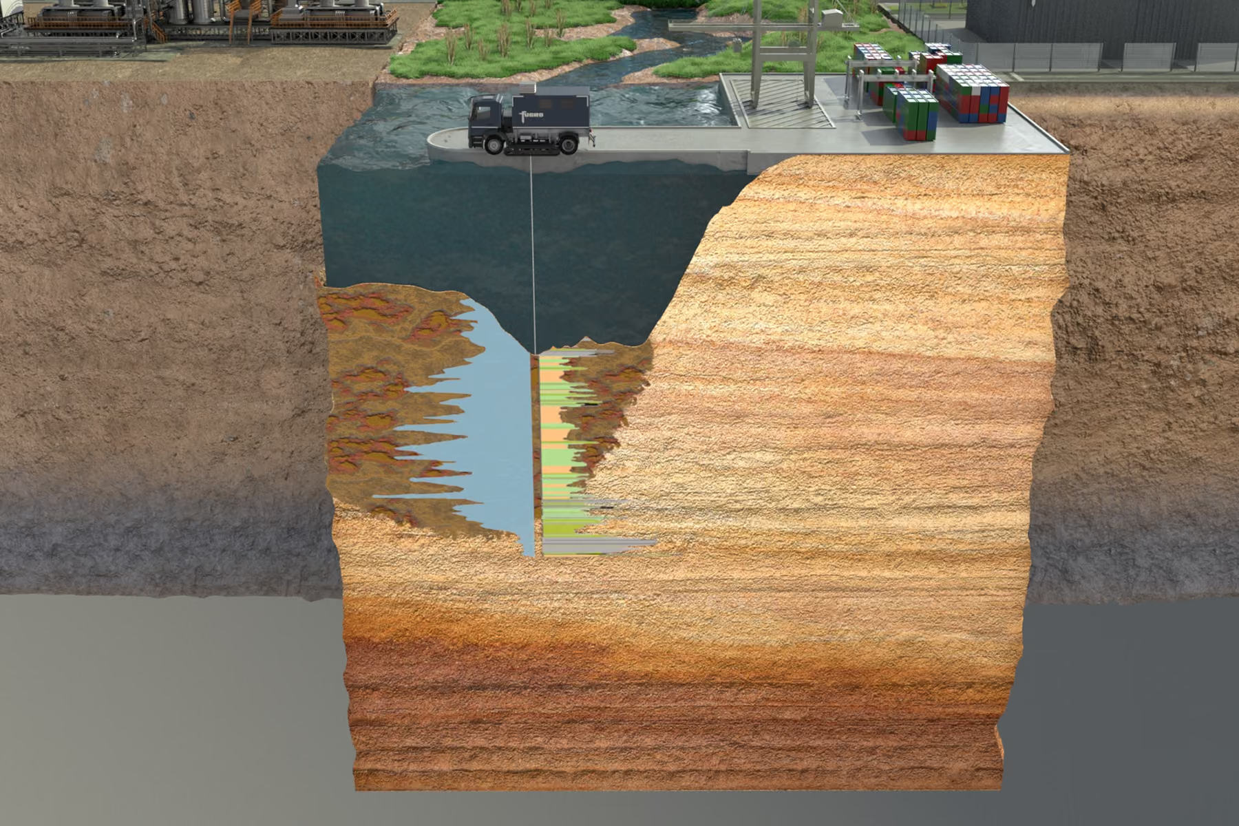
A terminal, its quay and its approach are usually characterised by three different methods that stop at each other's edges. GroundIQ runs one continuous model across all three, gathered without rigs on the quay or vessels in the channel. The three use-cases below show where it pays off.
Reclaimed ground
Know what the fill is made of. Reclamation quality, soft pockets and buried channels mapped in 3D across the terminal footprint.
Services
Shallow water and crossings
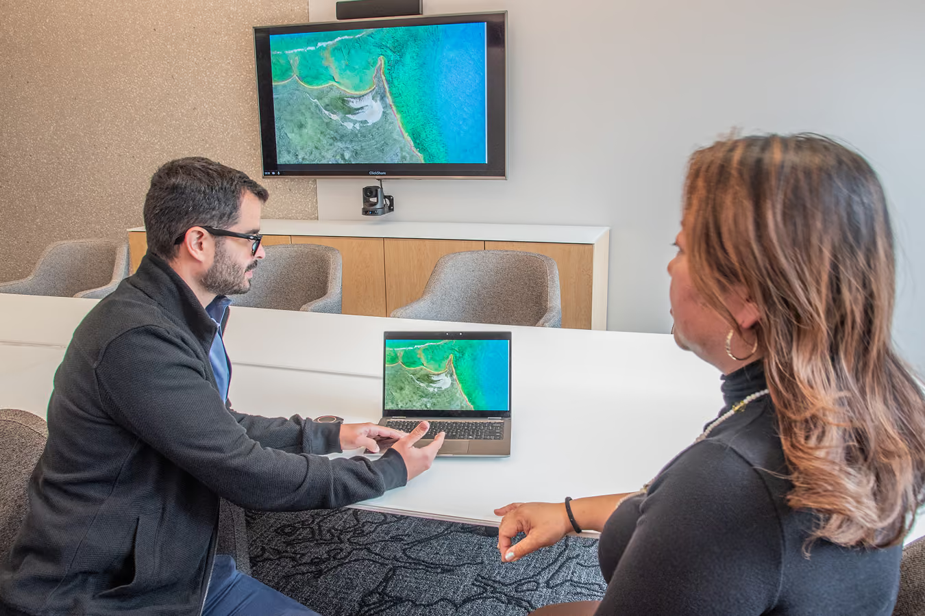
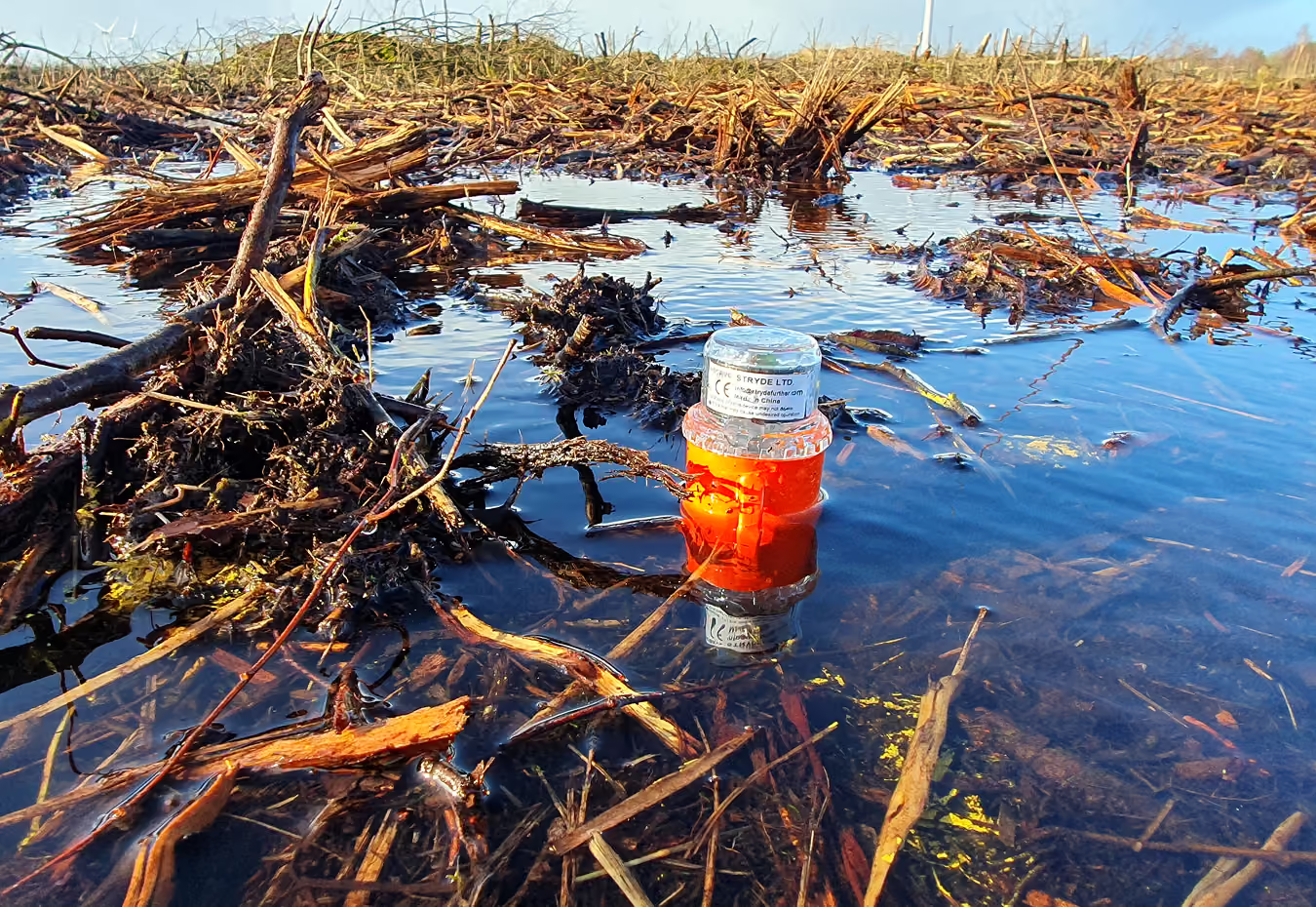
Measure through the surfzone. Beach, breaker line and shallow seabed covered in one pass, including HDD and outfall crossings.
Services
Quays, cranes and berths
Found heavy assets on known ground. Continuous stiffness and layering beneath quay walls, crane rails, tank farms and berth structures.
Services
Trusted by infrastructure and geotechnical teams
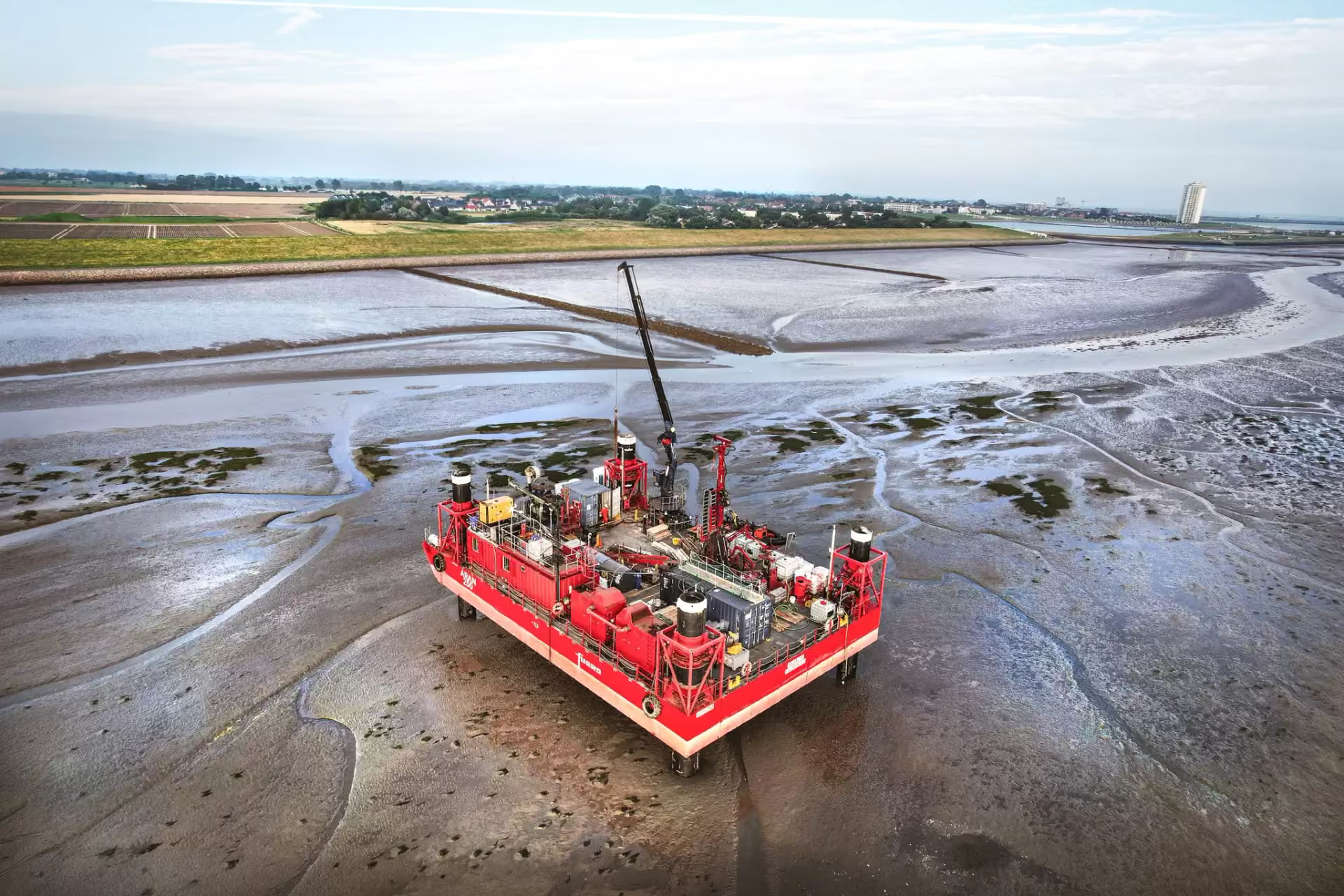
GroundIQ on Germany's North Sea coast
For TenneT Germany's LanWin1 and LanWin2 offshore grid connections, GroundIQ carried out non-intrusive geophysical surveys, electrical resistivity profiling and 3D ambient noise tomography, across the onshore and nearshore cable route. The geotechnical phase added boreholes and CPTs at 15 locations, four of them in intertidal zones, using a jack-up platform reconfigured for shallow-water work. The combined data now guides cable design, routing, and installation planning.


