
GroundIQ® in action: Ruling out hidden ground risks for a hyperscale data centre
As part of our GroundIQ® solution, we performed 3D ambient noise tomography (ANT) to map subsurface conditions at a site planned for a major data centre campus, providing a more complete understanding of ground conditions to support confident design and risk management decisions.
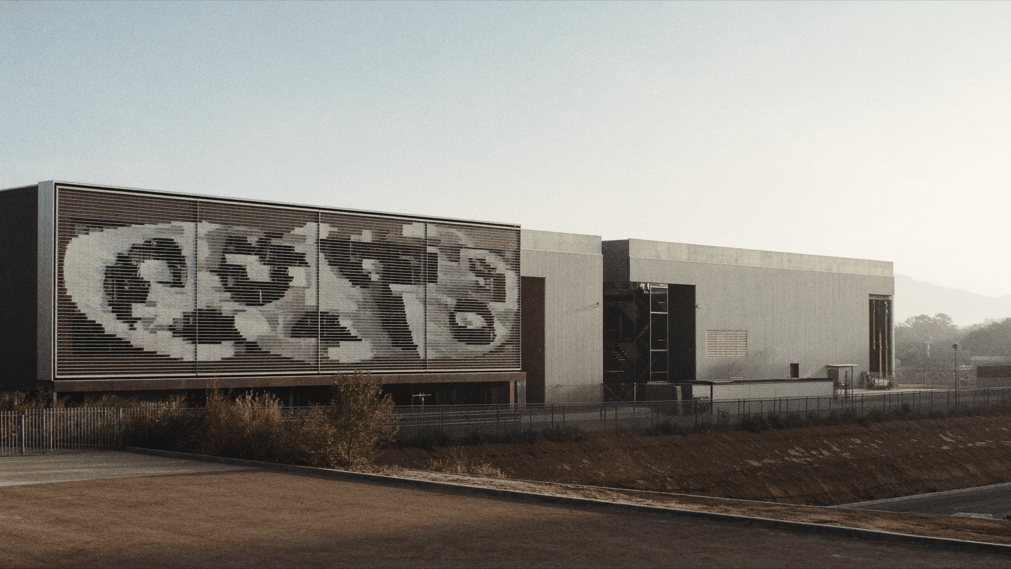


Confidential


Impact at a glance
Project Overview
As demand for digital infrastructure accelerates, data centres are being developed at an unprecedented scale and pace. For these assets, understanding ground conditions is critical: foundation performance and long-term structural stability all depend on a clear and reliable understanding of the subsurface from the earliest stages of development. Our client was undertaking the development of a large data centre campus on a greenfield site located in a region shaped by historical underground mining activity. We carried out comprehensive ground characterisation at the site. In addition to conventional investigation methods, we incorporated ANT into this as part of the bespoke GroundIQ® solution to deliver a high-resolution subsurface investigation relating to near surface layering, bedrock profile and in situ stiffness characteristics (as a function of shear wave velocity).
Developing a large data centre campus requires confidence in ground conditions across the entire site, not just at isolated locations. At the site, a combination of historical land use, variable subsurface conditions, and the areal scale of the proposed development made it essential to reduce uncertainty and build a reliable picture of what lay below the surface.

"Boreholes provide valuable information, but only where they're drilled. Our challenge was understanding how ground conditions changed across the rest of the site."

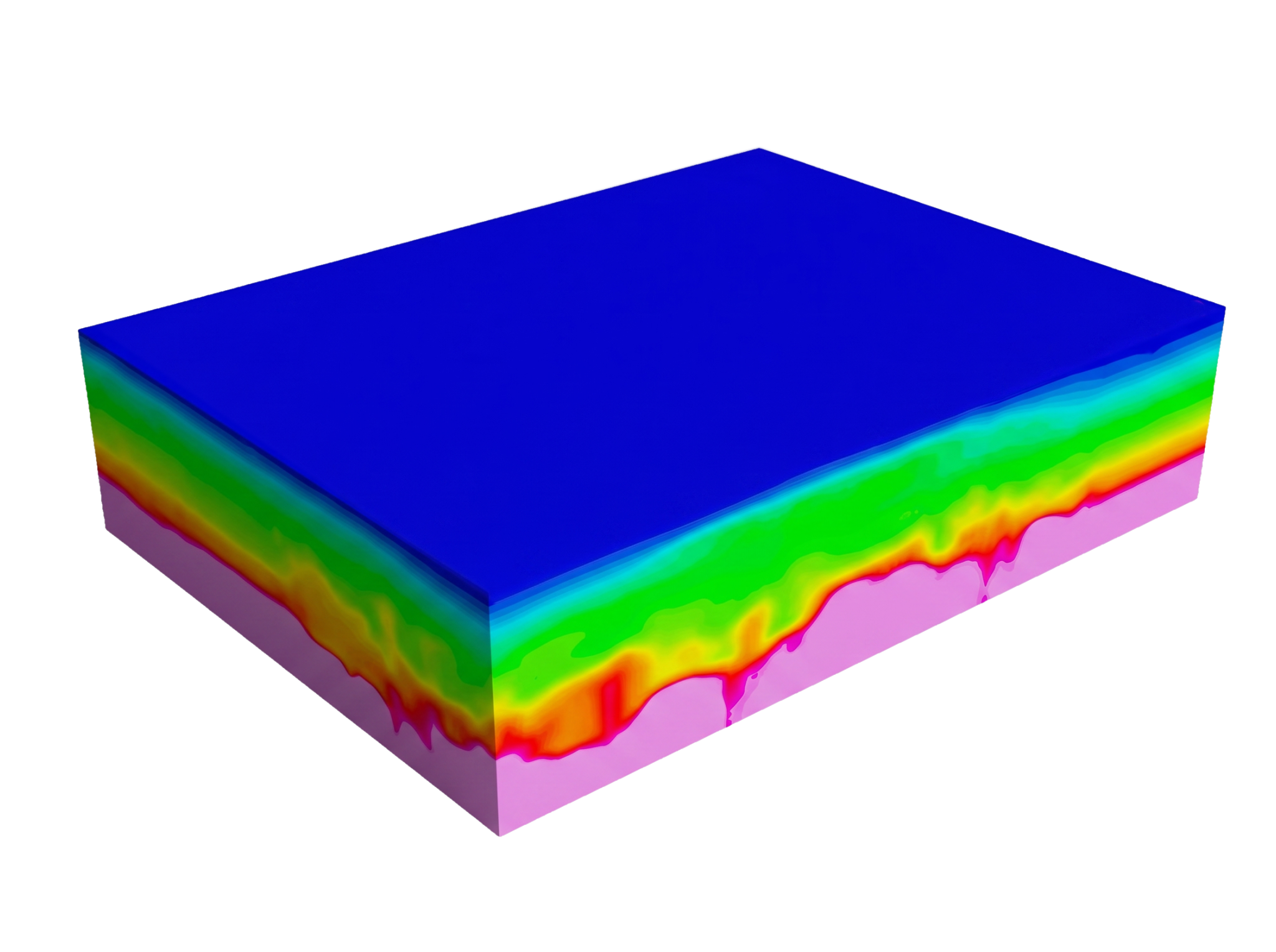
Given the unique challenges of the site, we deployed GroundIQ®, our end-to-end ground intelligence solution, to provide a more complete understanding of ground conditions. Initially, our team used ANT to build a continuous, three-dimensional model representation of ground conditions (in terms of shear wave velocity) across the site. Using ambient noise, ANT provided direct insight into ground conditions between boreholes and CPT locations, reducing reliance on interpolation.
The ANT results were then combined with existing geotechnical data to create a single, integrated subsurface model. This made it possible to map changes in ground conditions and bedrock depth across the site with greater confidence rather than relying only on isolated investigation points.
By filling in the gaps between conventional ground investigation data, the 3D subsurface model provides a clearer and more reliable basis for understanding ground conditions across the proposed data centre campus, supporting better-informed design and planning decisions.
"By integrating geophysical data with existing boreholes and CPTs, we were able to build a continuous ground model that provided far greater context than either dataset could deliver on its own."
The GroundIQ® approach - marrying advanced site screening geophysical data with high quality conventional geotechnical investigation data (CPT, boreholes) - delivered a three-dimensional subsurface model that described bedrock profile variation across the site. In addition, the model provided robust indication of the in situ ground stiffness parameters for soil and rock formation.
An initial bedrock surface profile was derived from one-dimensional CPT and borehole information from across the site. This surface profile was compared against an interpreted bedrock horizon defined by shear wave velocity from the ANT model. This comparison indicated a close match at coincident sample points, and importantly indicated variation in bedrock depth in parts of the site that were not sampled by one-dimensional CPT and borehole positions.
Crucially, the 3D model highlighted changes in bedrock depth across the site that would not have been identified using boreholes and CPTs alone. These differences between investigation points revealed variations in ground conditions that could be important to consider when planning foundations and managing ground risk on large, high-value developments.
By building a more complete picture of subsurface conditions across the site, GroundIQ® helped reduce uncertainty and enabled more confident design and planning decisions for the data centre campus.
This project demonstrates how GroundIQ® supports more confident decision-making for large, complex developments such as data centre campuses. By combining advanced geophysical imaging with conventional ground investigation data, GroundIQ® delivered a clearer and more complete understanding of subsurface conditions across the site. The study highlights the value of using data-rich, three-dimensional ground models early in the development process to reduce uncertainty, identify potential ground risks, and support better-informed design and planning decisions.