
Revealing ground risk for a hydrogen plant: How GroundIQ® delivered clearer subsurface insight
As part of Fugro’s GroundIQ® solution, ambient noise tomography (ANT) was applied at a greenfield hydrogen plant site in Beaumont, Texas. The approach provided a continuous view of subsurface conditions, revealing variations in key soil layers that are difficult to capture using intrusive investigations alone and supporting more confident ground risk management.


Confidential


Impact at a glance
Project Overview
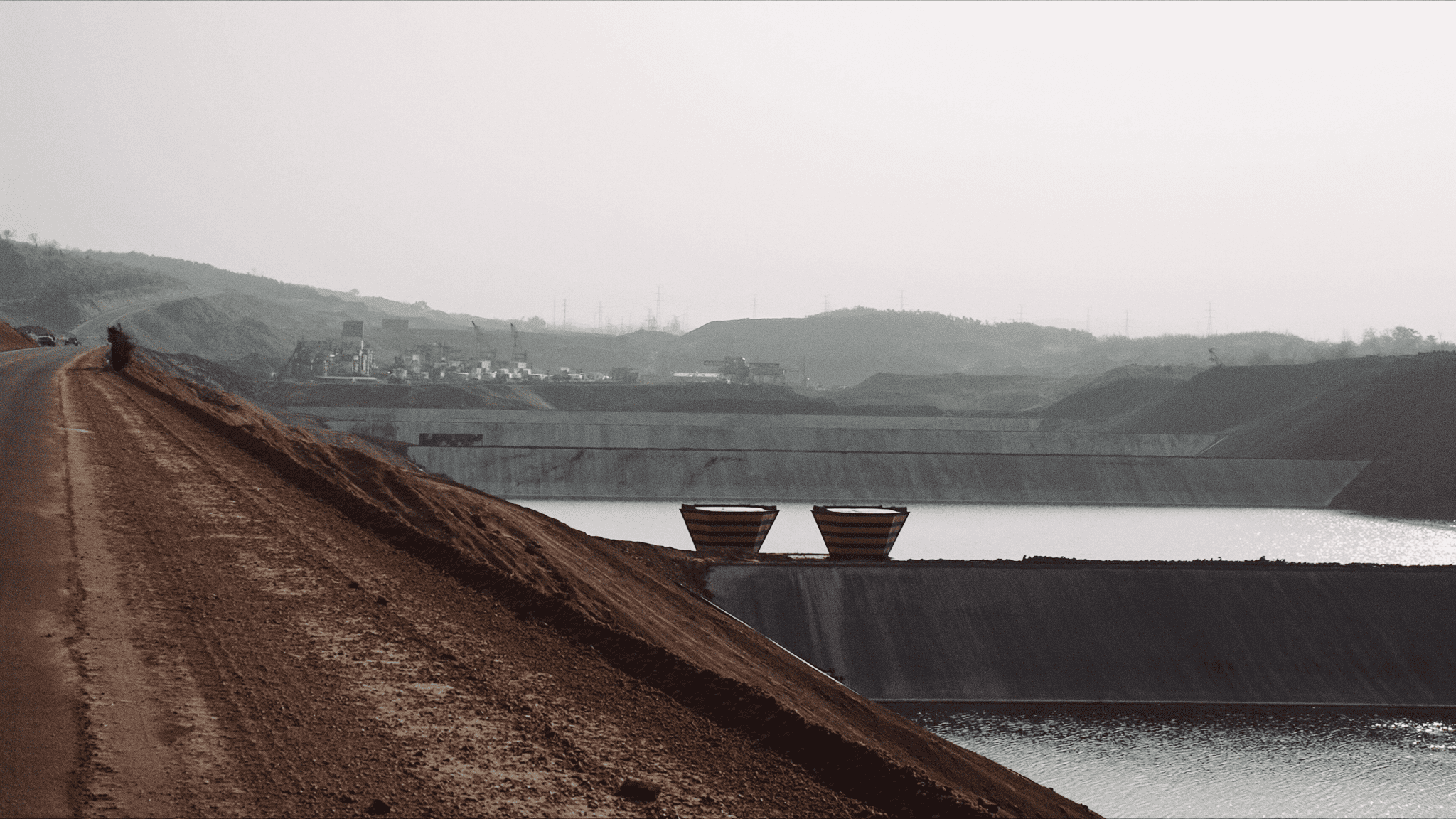
As investment in low-carbon energy grows, hydrogen production facilities are becoming a key part of the global energy transition. For projects of this scale, confidence in ground conditions from the very beginning is critical. Decisions around foundations, construction planning, and long-term performance all rely on having a clear picture of what lies below the surface. In Beaumont, Texas, a new hydrogen plant was planned on a greenfield industrial site underlain by the Beaumont Clay Formation. Fugro was engaged to support site characterisation ahead of construction, combining traditional ground investigation methods with GroundIQ® technology. GroundIQ® was used to provide a faster, more complete understanding of subsurface conditions and to demonstrate its value in identifying key ground layers relevant to foundation design.
The hydrogen plant site in Beaumont is underlain by the Beaumont Clay Formation, shaped by ancient river delta processes. Ground conditions are variable, with soft clays interbedded with silt and sand layers that can change over short distances. While some sand layers offer suitable bearing conditions for deep foundations, their depth and continuity are difficult to predict.
Conventional site investigation methods such as boreholes and CPTs provide detailed information, but only at isolated locations. On a site with this level of lateral variability, relying solely on point data can leave gaps between investigation points, making it harder to confidently map key soil layers and identify where favourable ground conditions extend across the site.
For a major industrial development, these uncertainties can directly affect foundation design and construction risk. A more continuous understanding of subsurface conditions was therefore required to complement traditional investigations and support more confident early-stage decision-making.

"The challenge at this site was not understanding the ground conditions at individual investigation points — it was understanding how those conditions changed between them."
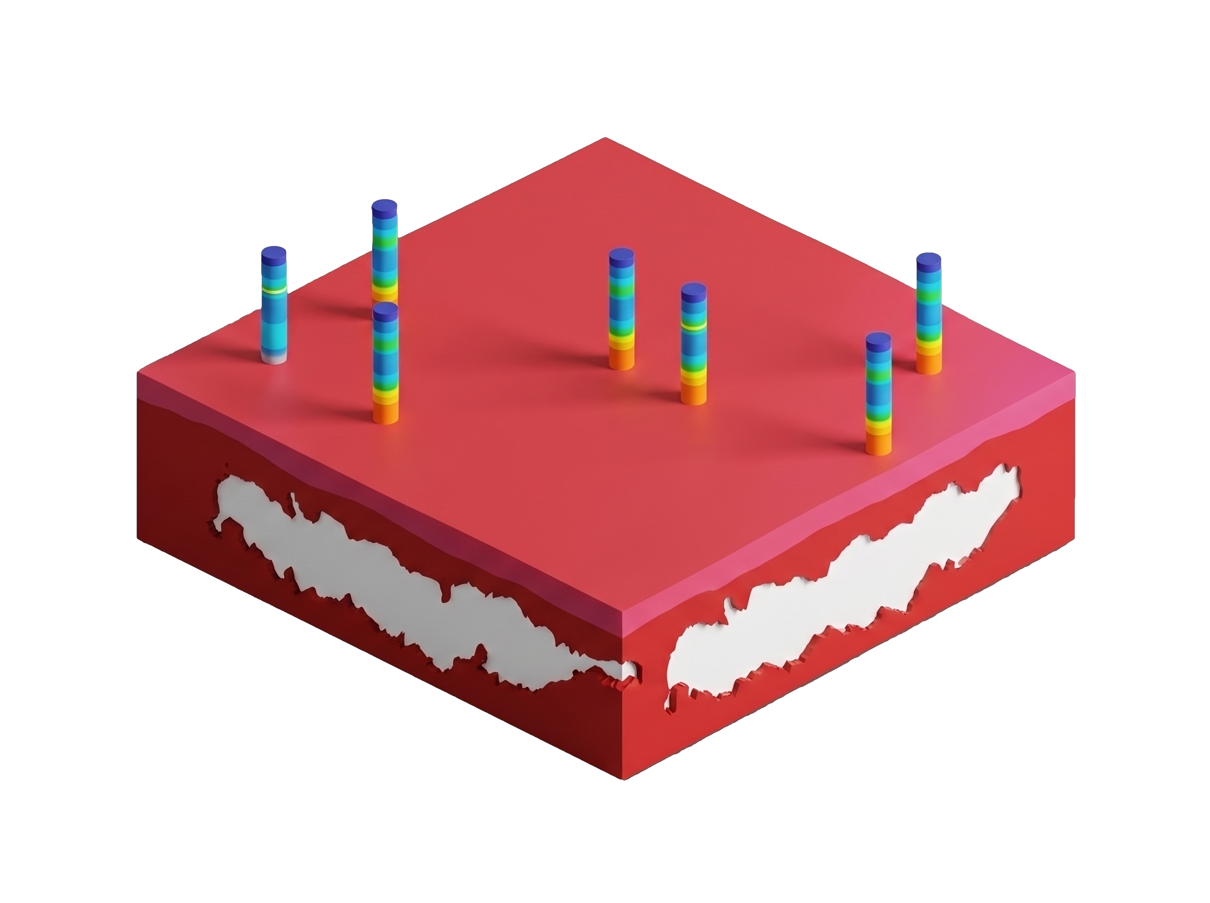
GroundIQ® was introduced as a complementary solution to the conventional site investigation programme, providing a more continuous view of subsurface conditions across the site. Using adapted ANT technology, seismic sensors analysed naturally occurring ground vibrations to map changes in soil stiffness between boreholes and CPT locations, rather than relying solely on interpolation.
To deliver the solution, a dense array of compact seismic sensors was deployed across a defined area of the site to capture subsurface variability at a much higher spatial resolution than conventional investigations alone. These sensors recorded naturally occurring ground vibrations generated by nearby infrastructure, river activity, and ongoing industrial operations.
The sensors continuously recorded ambient seismic noise over several days. The collected data was processed to generate a three-dimensional model of subsurface stiffness. This model allowed changes in soil conditions to be mapped between boreholes and CPT locations, providing insight into the depth, elevation, and continuity of sand layers relevant to deep foundation design.
These results were correlated with existing borehole and CPT data from the wider site investigation programme. This ensured alignment between geophysical and geotechnical information, resulting in a validated ground model that combined continuous site coverage with detailed point measurements.
"By combining ambient noise tomography with existing borehole and CPT data, we developed a continuous 3D ground model that revealed how subsurface conditions varied across the site."
GroundIQ® delivered a three-dimensional subsurface model that provided a continuous view of ground conditions across the surveyed area. The model clearly imaged variations in soil stiffness and identified the depth and elevation of sand layers capable of supporting deep foundations, rather than relying on interpolation between isolated investigation points.
The information obtained from the processing of seismic data showed strong agreement with existing borehole, CPT, and downhole geophysical data. In particular, increases in seismic velocity identified by the seismic sensors closely matched dense sand layers observed in intrusive investigations, confirming the accuracy of the geophysical interpretation while extending insight into areas between investigation locations.
Crucially, the 3D model revealed lateral changes in the elevation of key bearing strata that would have been difficult to identify using conventional methods alone. This improved visibility of subsurface variability helped explain differences in ground behaviour across the site and highlighted where assumptions of uniform conditions could introduce risk.
This project demonstrates how GroundIQ® supports more confident decision-making for complex industrial developments. By providing a spatially continuous, three-dimensional understanding of subsurface conditions, GroundIQ complemented conventional borehole and CPT data and reduced uncertainty associated with variable ground conditions.
This improved visibility of subsurface variability provided a stronger basis for foundation planning and highlighted the importance of moving beyond isolated data points when characterising complex ground conditions. The study reinforces the value of integrating data-rich geophysical imaging early in the site investigation process.